July 30, 2017.
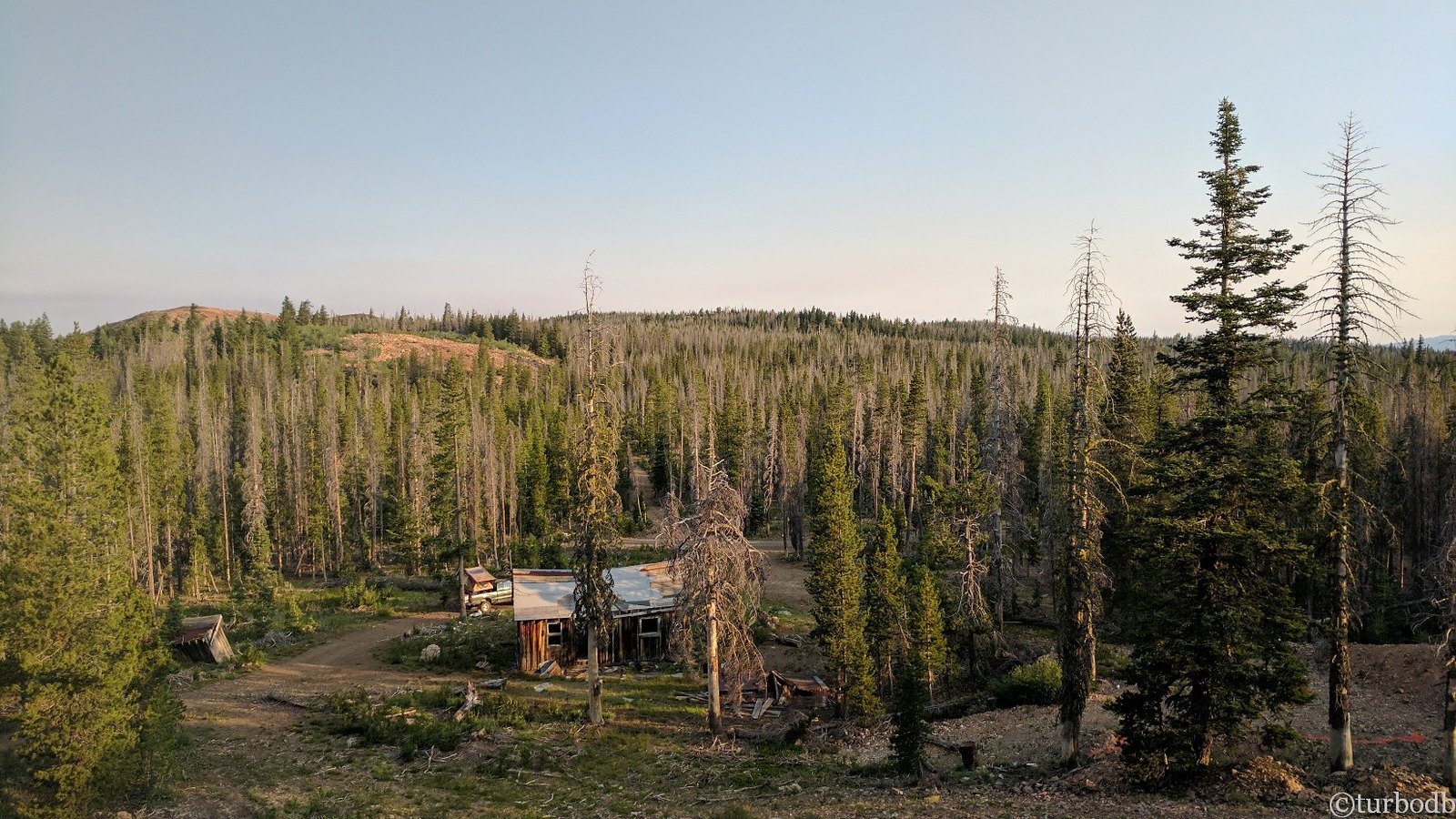
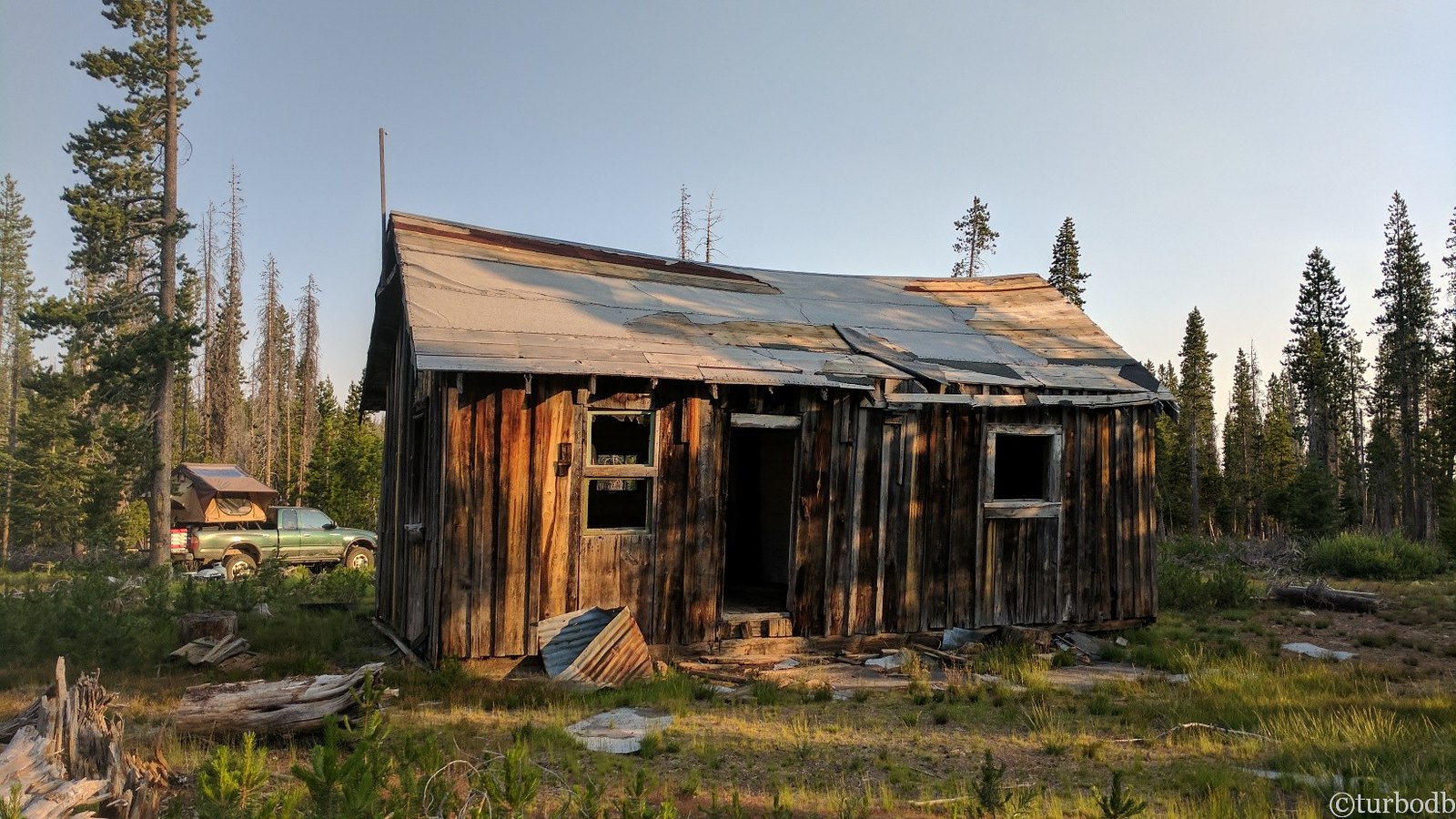
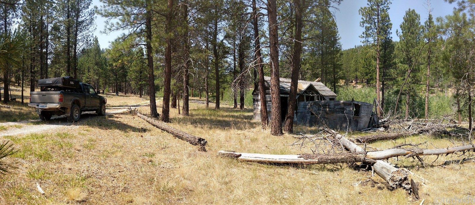
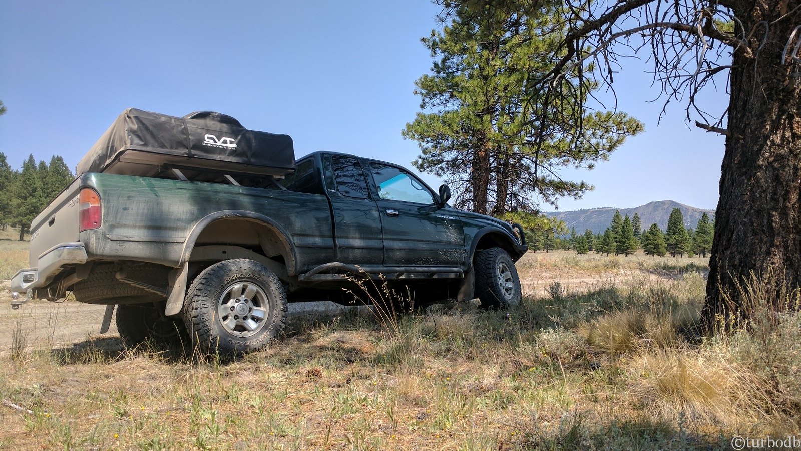
After a long day, we'd fallen asleep quickly and slept soundly by Moonlight Mine at the top of Crane Mountain. Morning light brought a bit more time to explore the mine and make breakfast out of the fridge - scrambled eggs, spicy sausage, toast and strawberries - delicious, and ready for @mrs.turbodb when she climbed down from the tent at 7:45am.
The anti-condensation mat worked fantastimagically, and there was very little condensation under the mattress - the only morning we'd have any. Even with the condensation, it was on the floor of the tent, away from the mattress itself, so there was no need to wait for the mattress to dry out - just wipe off the floor and we're done.
Anyone who's got an RTT should get a mat. @Cascadia Tents mats will fit all brands, and they are the cheapest I could find.
While making breakfast, another truck rolled by the mine - a local, one of only two times we'd run into someone on the trail - who was out "scouting for deer." He asked if we were doing the same, and was intrigued by (and clearly not interested in attempting) the idea of running the OBDR.
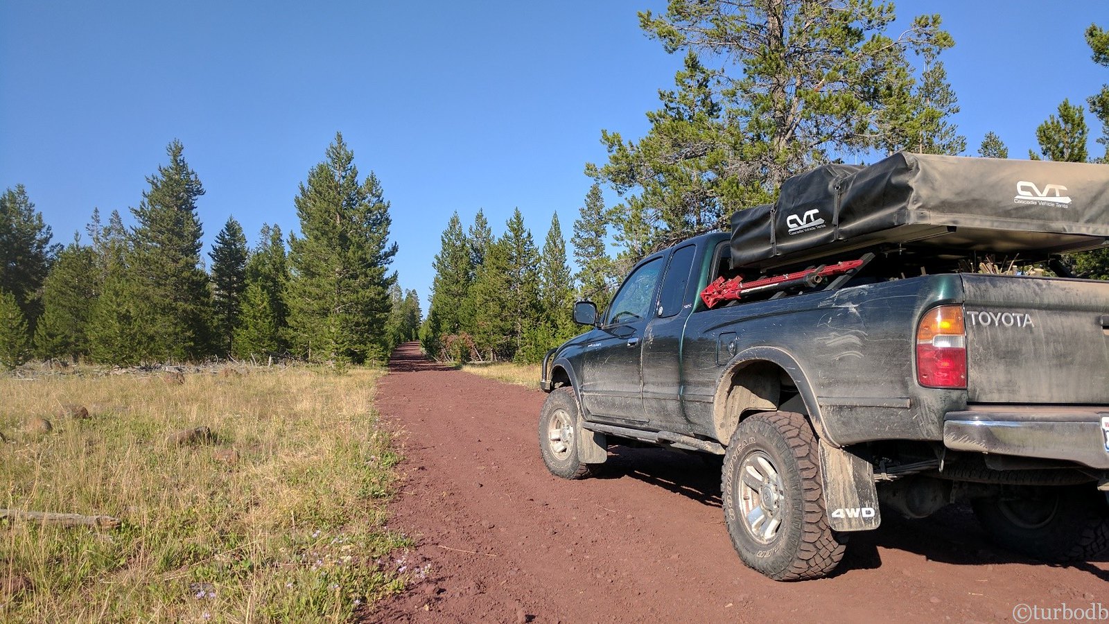
As I put away the tent and @mrs.turbodb took care of the breakfast dishes, we knew that the moment of truth was upon us. Where would we go, and what would we do - given the previous night's excursion?
As we loaded into the truck and took a look at the maps, what would become our first rule of the trail became clear:
When the trail is impassible, there is always a go-around.
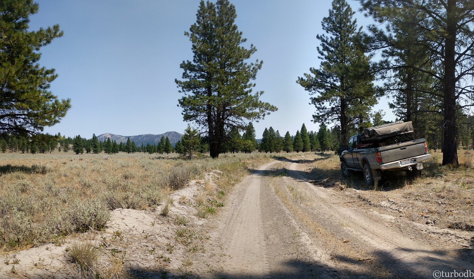
If we'd simply looked at the map the evening before, rather than blindly following the GPS waypoints, we'd have seen that with a few extra miles though the Dismal Swamp, we could join back up with the GPS track just over the Oregon border.
So we did. And the Dismal Swamp was anything but!
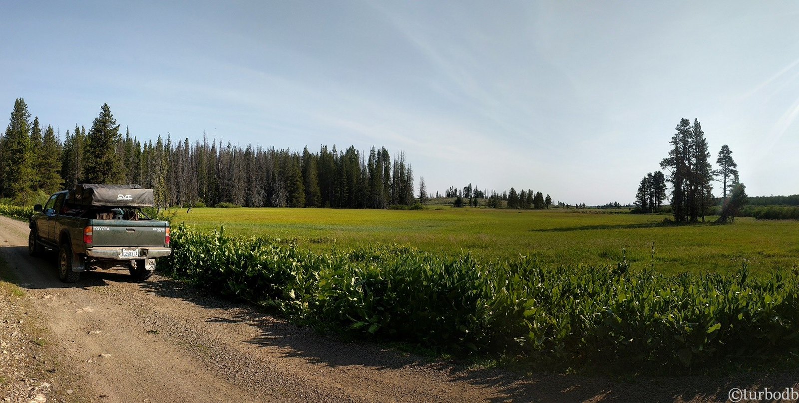
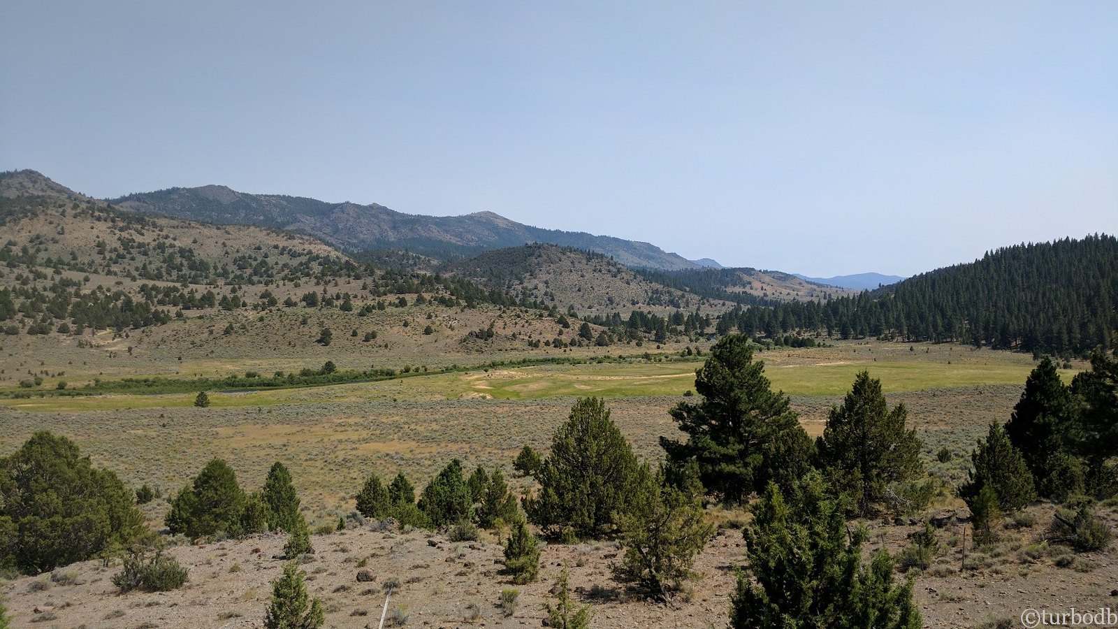
Lush and green, the road was enjoyable and our spirits were raised. We were back on our adventure, and we'd learned a valuable lesson - the OBDR is a long trail, and constantly changing conditions mean that there's more than one way to complete it.
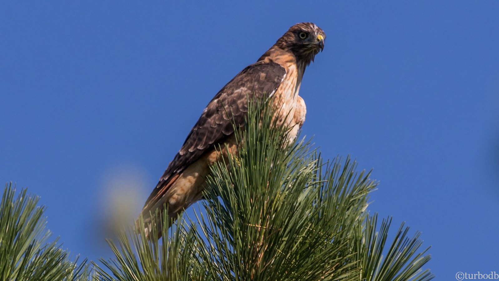
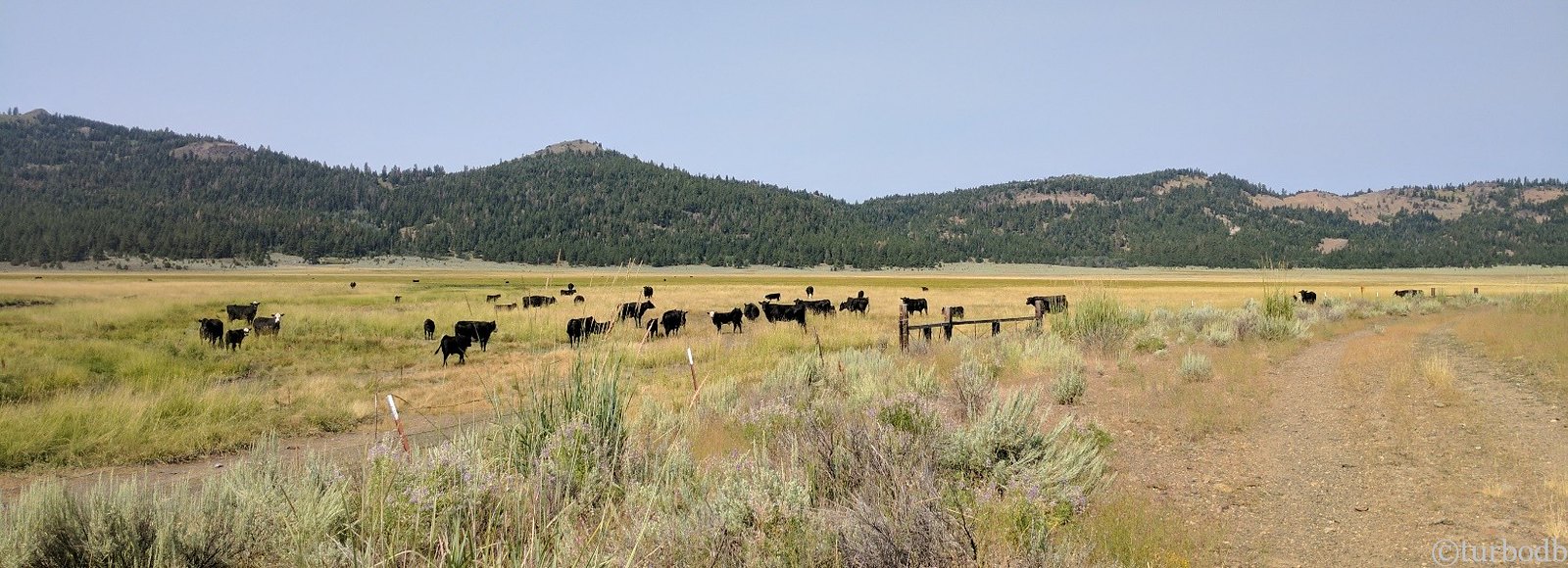
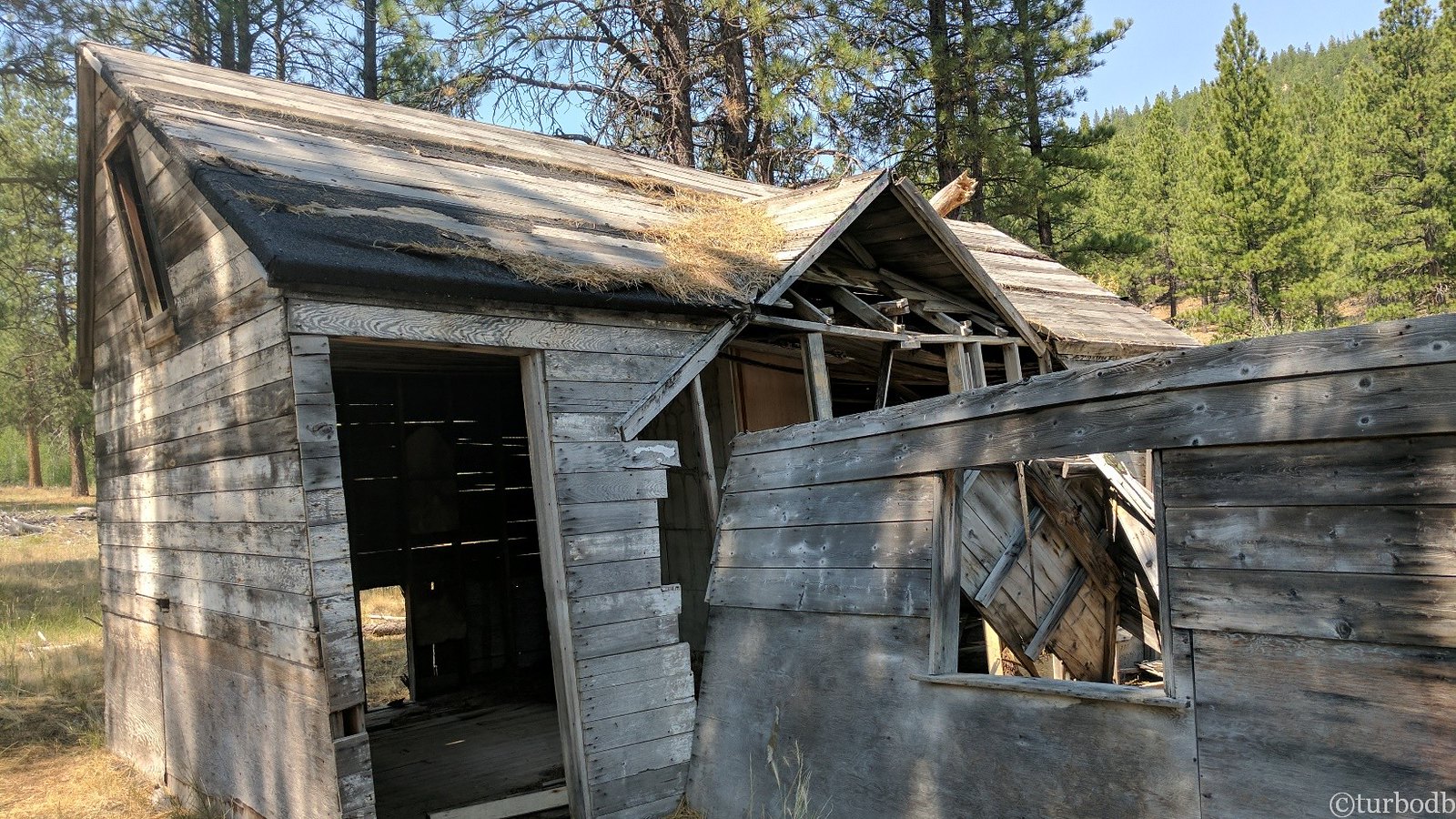
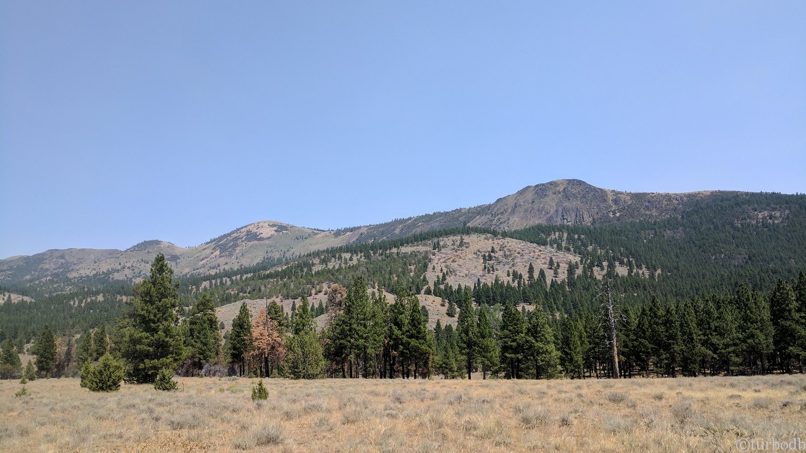
As we drove, we saw wildlife (and cows), beautiful scenery (much of the smoke of the day before had cleared), and remnants of long-forgotten structures.
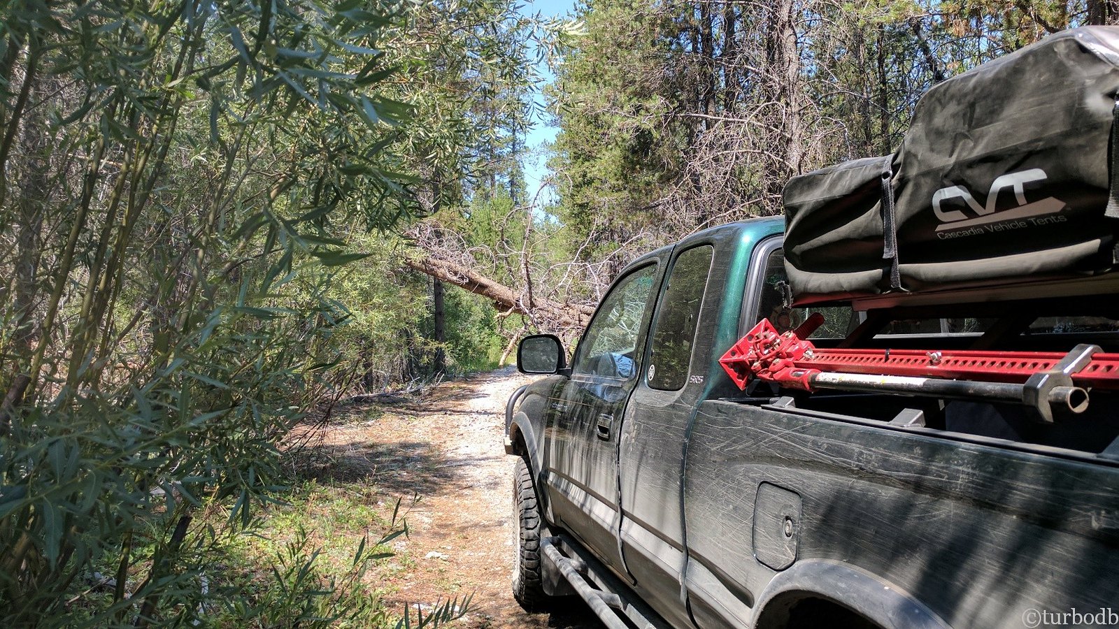
We also ran into more trees along the road - not many, but a few - easily dispatched by the chainsaw. And, not that I needed any real justification for the purchase - my motto is that all tools are totally required, but all that sawing the previous day had been "unnecessary," so it was nice to know that I hadn't "totally wasted" my money.
In all of it we saw no people, and in retrospect, we probably didn't need to pull over to the side of the road (super-off-camber) for lunch. Let's just say we were "aiming for shade." LOL.
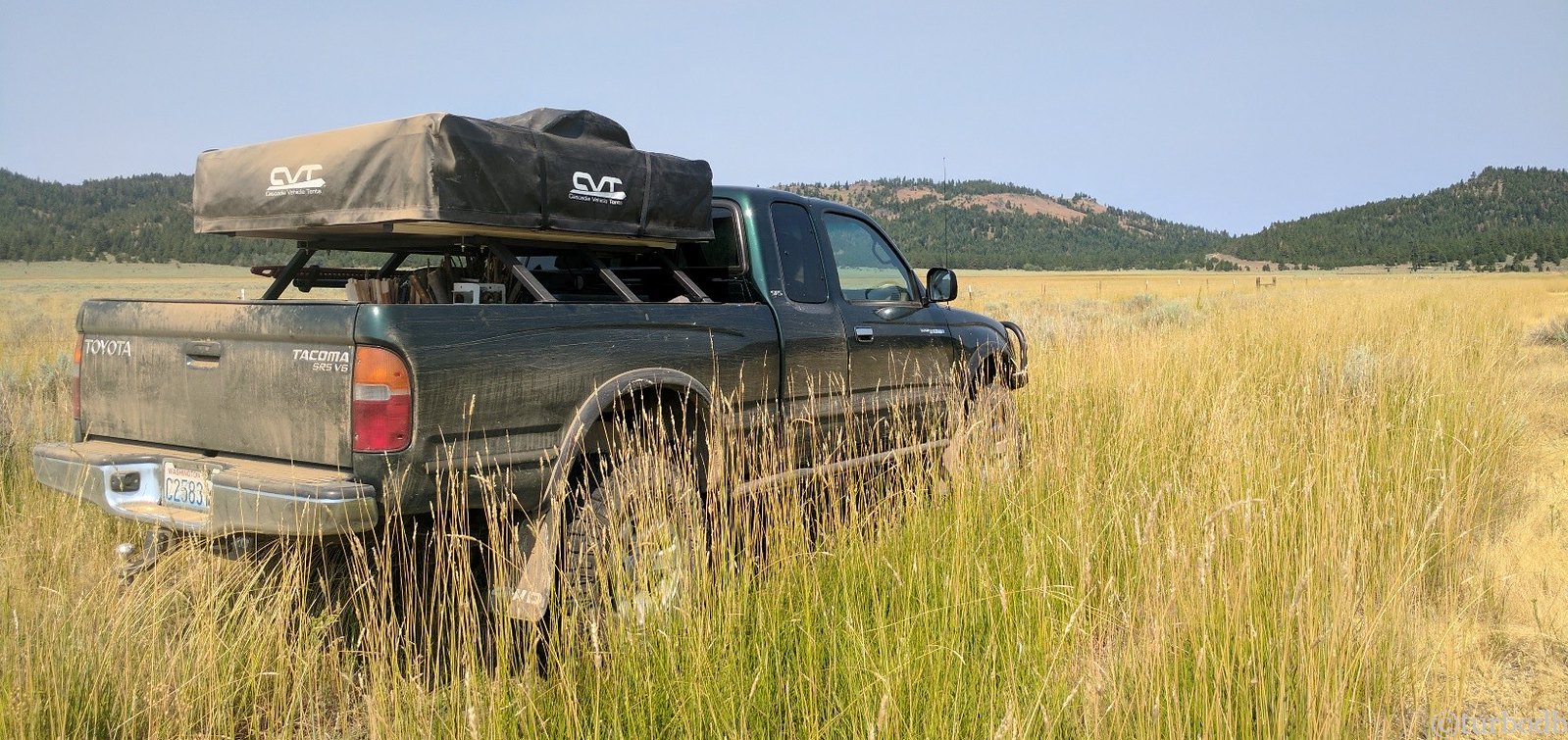
Into the fridge in 95°F, it was so nice to have all of our food dry and 37°F, no longer dependent on block ice. We sat in the shade eating for a bit and then got back on the road.
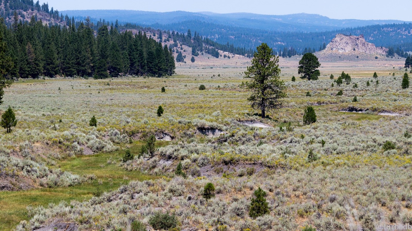
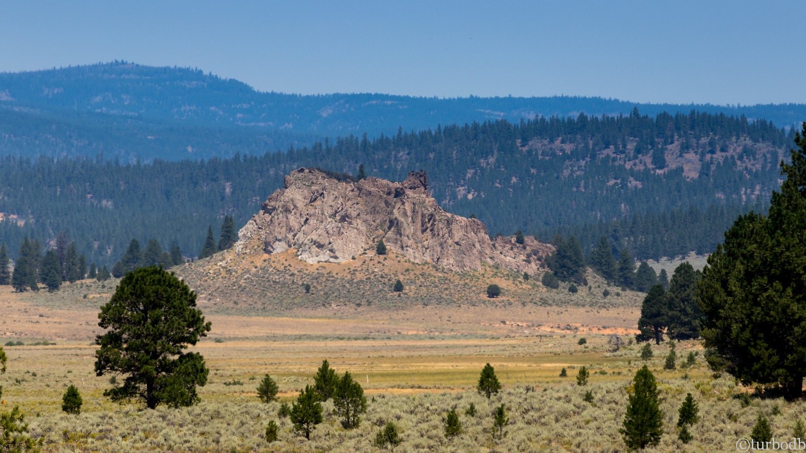
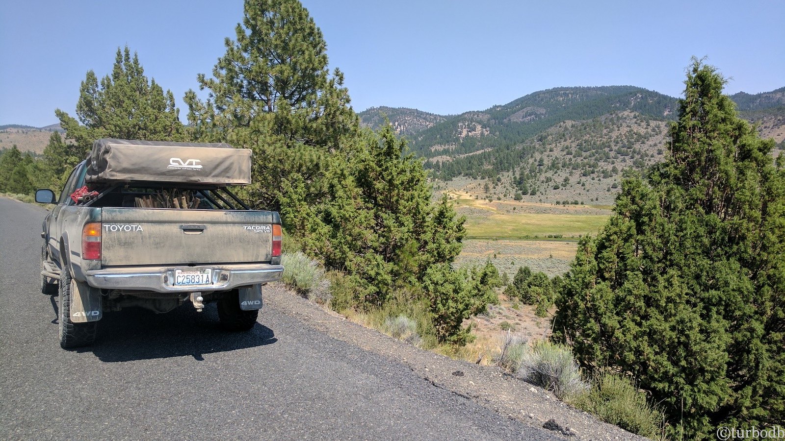
We made our way through mountains and meadows - on some well-groomed gravel, and rutted dirt tracks. There was a side-excursion on this leg as well (as on all legs) up to the top of a mountain - some sort of radio tower, we think - but a two miles before the top stated "Road Closed - Sensitive Electronics," with a locked gate. Skirtable in an ATV or motorcycle, but the end of the road for us.
So it was back down the mountain where we ran into the second (and last) human contact for the week - three more retired guys out "scouting" on their motorcycles and ATVs. After chatting with them for a bit, we headed into Paisley for some gas, chuckling to ourselves about "scouting" for deer, which we've decided means:
- Getting to play in the woods on your ATV.
- Camping with your buddies.
- Shirking any household duties.
- Hoping you see a deer, but knowing that even if you do, they probably won't be in the same place a week or two later when you actually (maybe) go hunting.
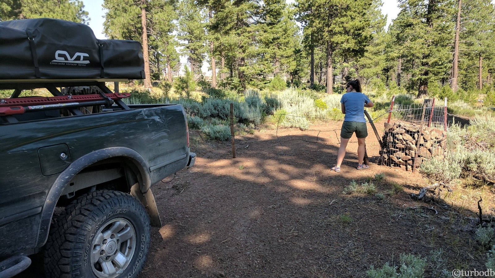
One of over 50 gates we'd pass through on the trip.
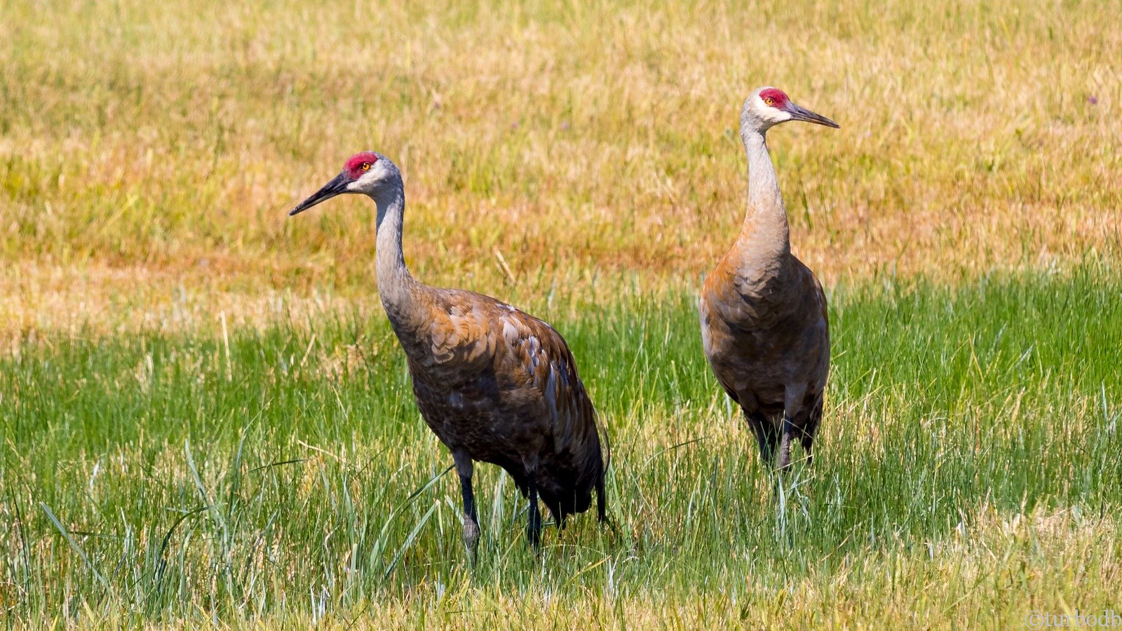
In Paisley, the gas station was closed. I mean, why wouldn't it be, right? - it was Sunday around 2pm. Luckily, the Internet hadn't shut down for the weekend, so we had one bar on our phones and found another gas station about 7 miles out of town. We headed that way and passed a pair of sandhill cranes in the high meadow.
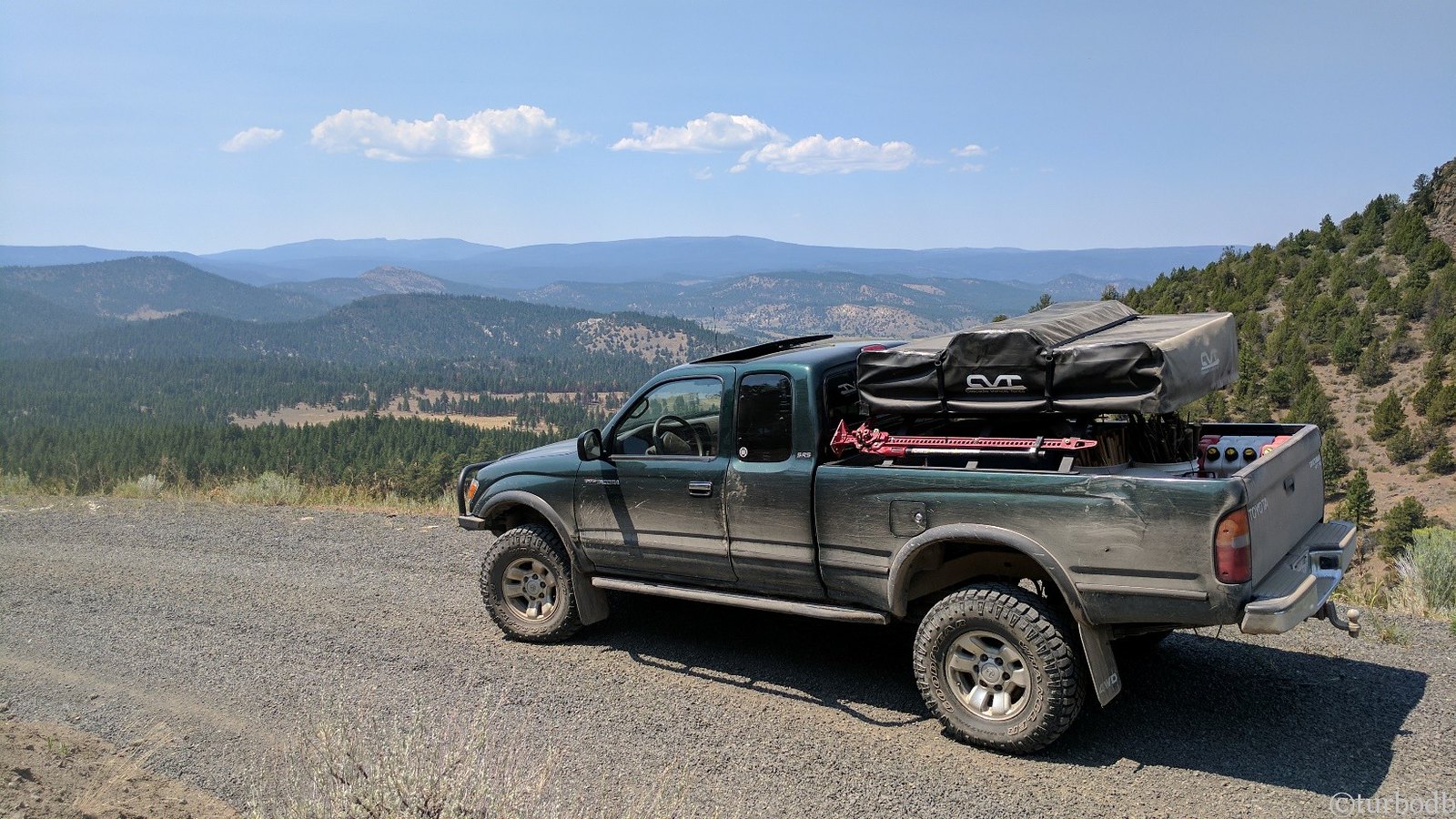
With a full tank of gas (we tried to fill up whenever possible, not knowing where our next gas would be or what type of terrain we'd run into), we headed back into the woods towards our destination: Summer Lake.
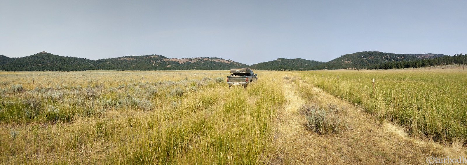
And then, we turned into a dead forest. Close to 90% of the trees were dead - from a fire, years before, and we knew that this could spell trouble.
Also, like the day before, this road wasn't on the map…it was just a set of GPS points.
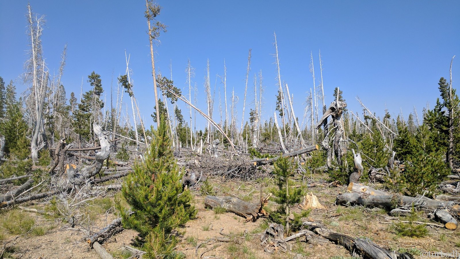
We continued for a mile or so, up to the top of the ridge. Trees were down everywhere, but they'd been cleared from the road - we were lucky! Someone else had come before us, not just clearing trees, but also - seemingly - taking the wood with them.
Later we'd discover that this area was a designated firewood collection area…and where's the easiest place to get wood? Yep, right out of the middle of the road.
Then our luck ran out. The firewood gatherers had gathered all they needed. What they couldn't fit in their trucks they left on the road, and we weren't going to cut our way through - especially because at this point the road was transitioning into an ATV track.
So, we followed our newly minted rule: There is always a go-around. Because there was.
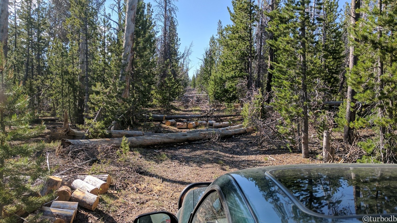
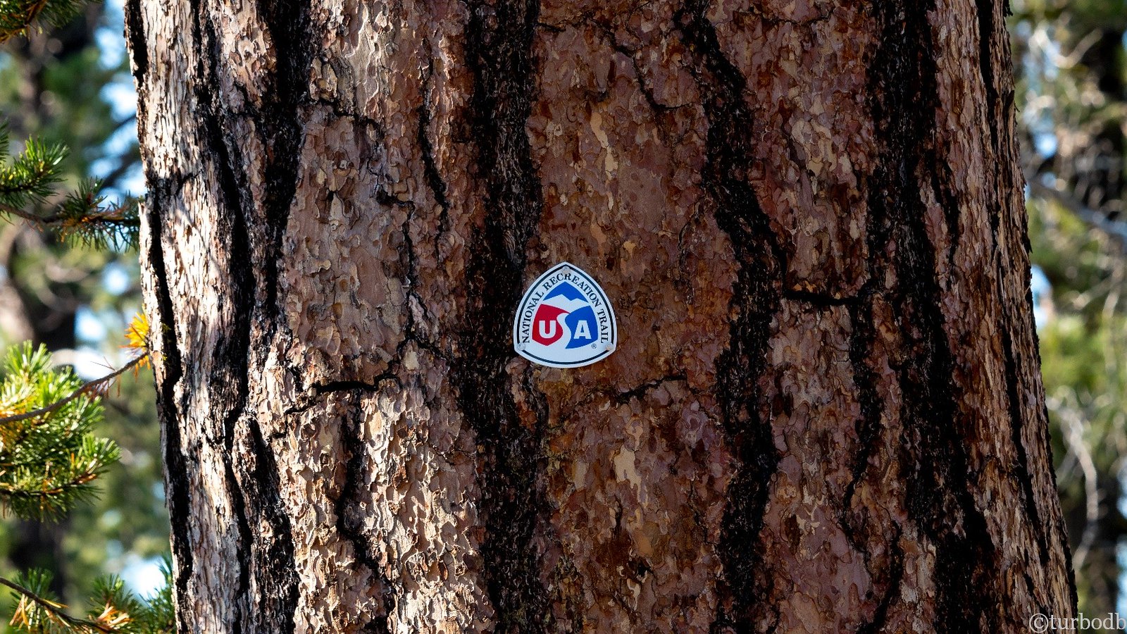
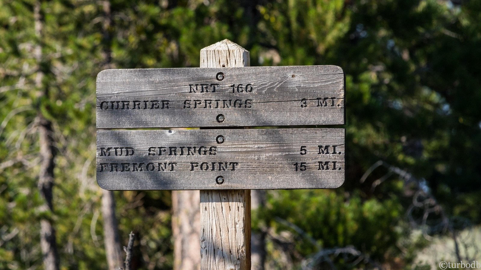
This road was a National Recreation Trail. And it turns out (according to Wikipedia) that mostly means "it's for hiking and sometimes biking; not usually for trucks."
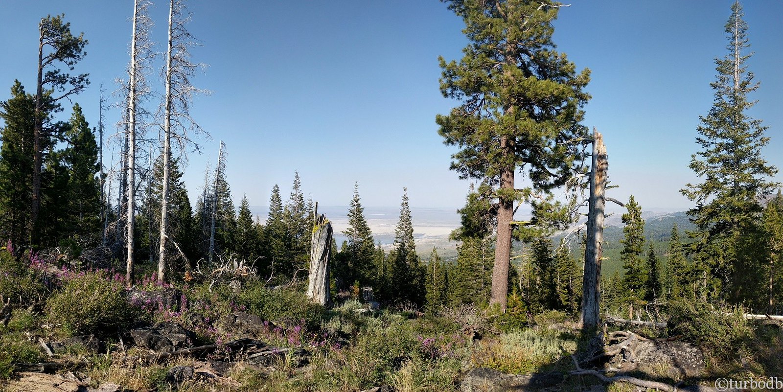
Back on track, we continued on as afternoon turned to evening. Soon, we found ourselves along Winter Ridge above Summer Lake and when we got out for a quick look, we stumbled upon a trailhead.
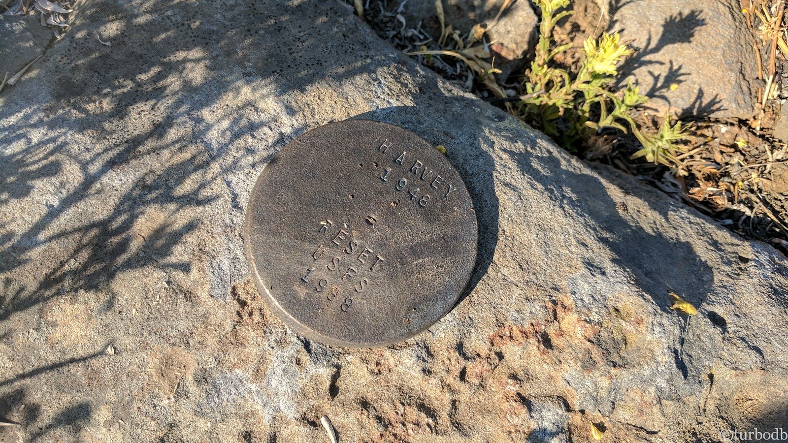
We also just happened upon a geodesic location marker from (originally) 1948; a cool find in the middle of the wilderness.
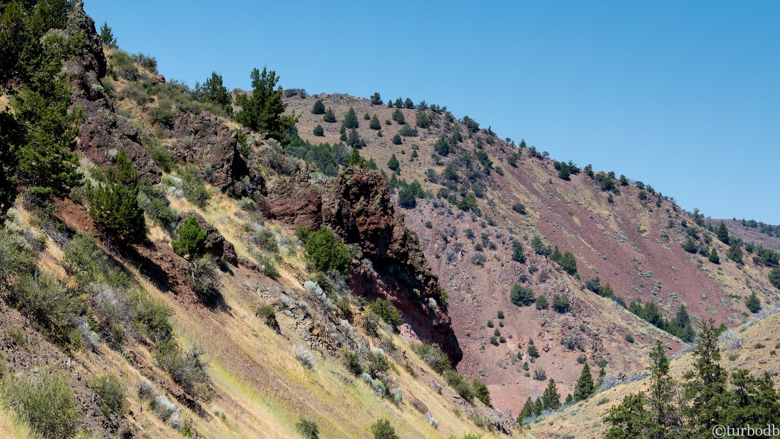
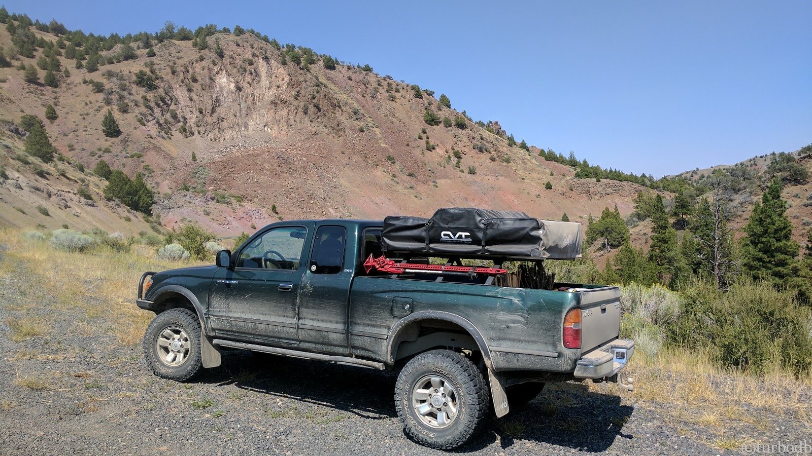
With a goal of being halfway up Summer Lake by 7pm (to setup camp and make dinner), we were back in the truck and cruising along a really cool red lava rock road when we ran into our first "standoff."
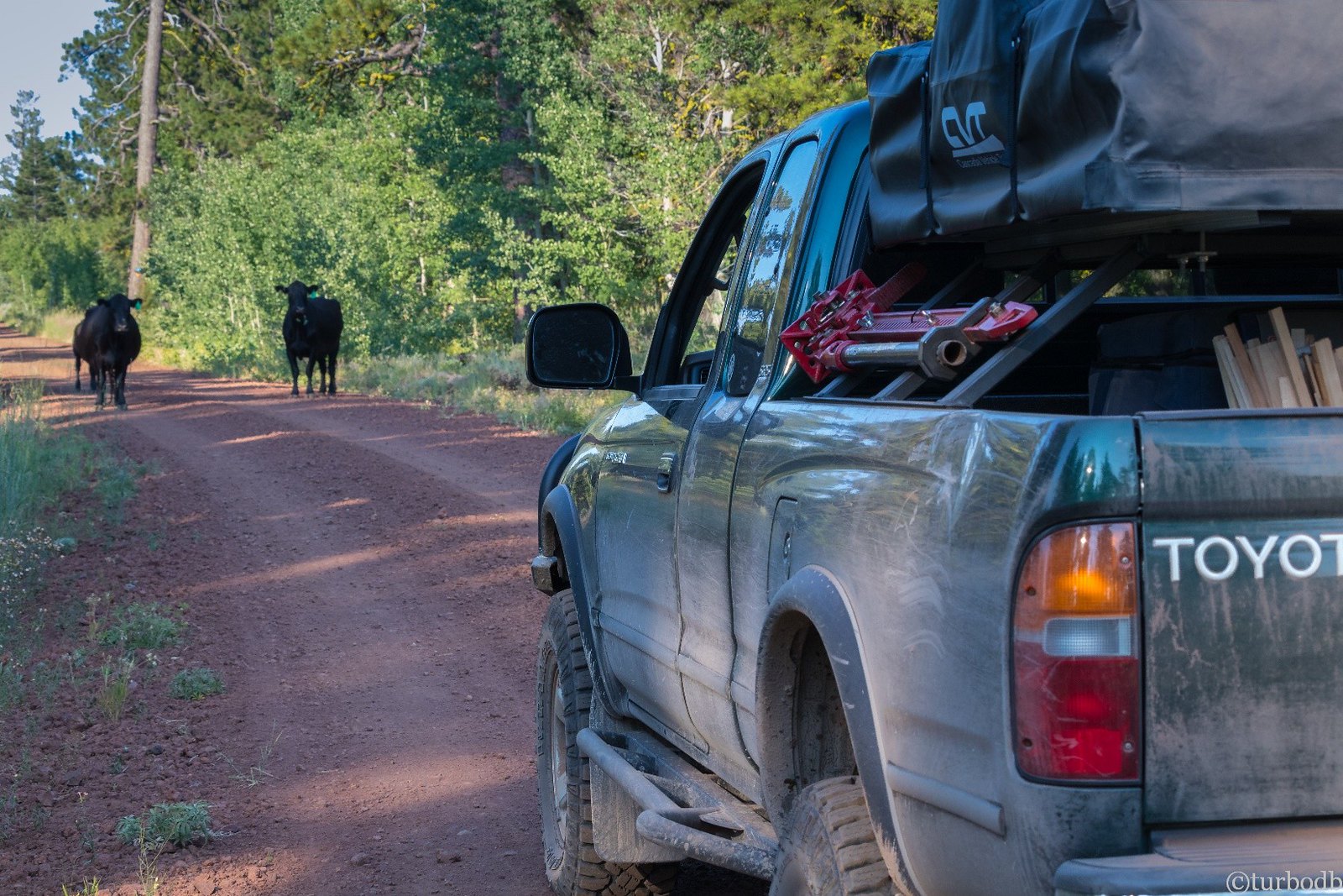
Some honking and a slow approach got the cows off the road, and it wouldn't be the last time that we ended up in this situation (more on that later).
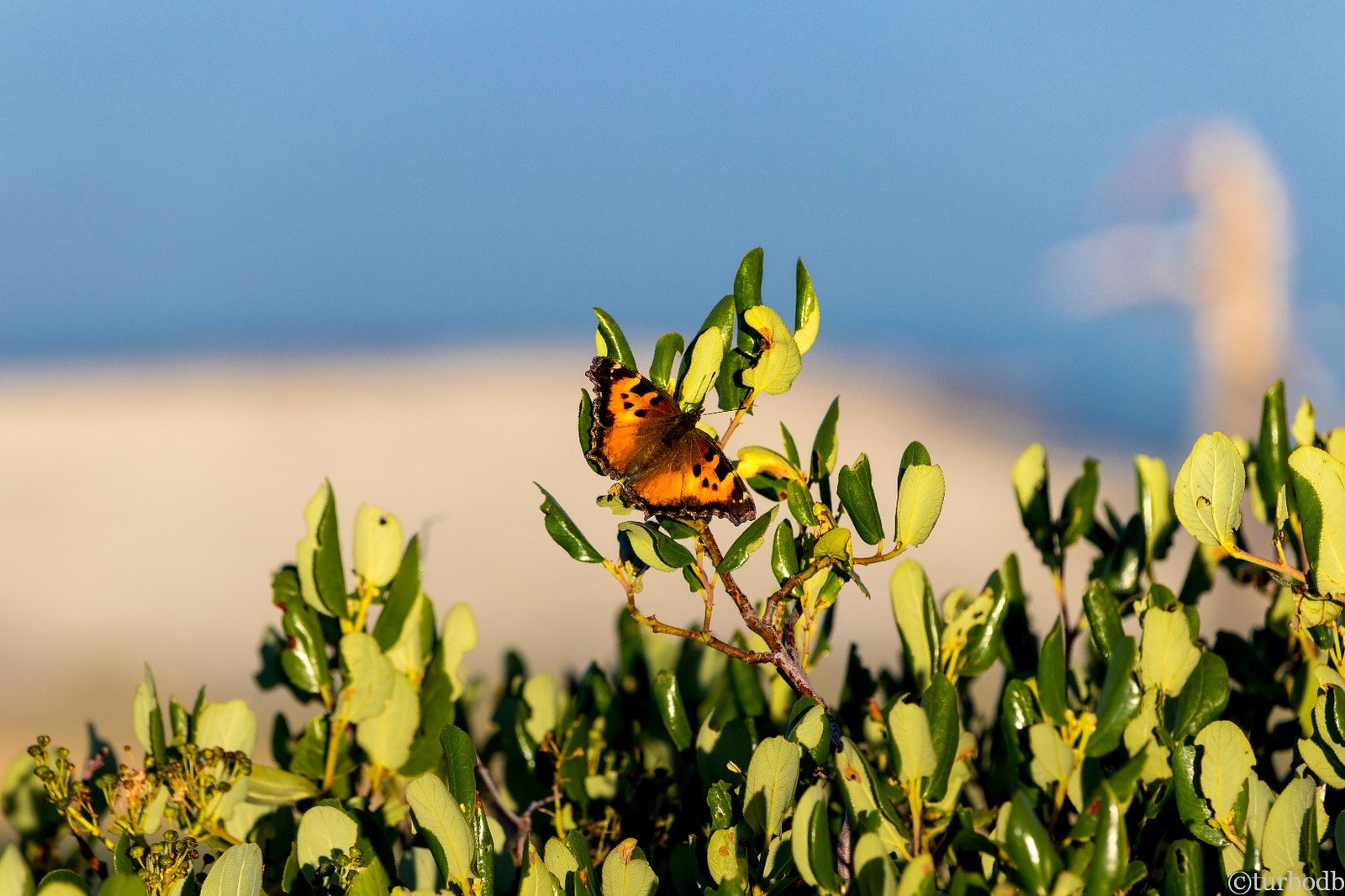
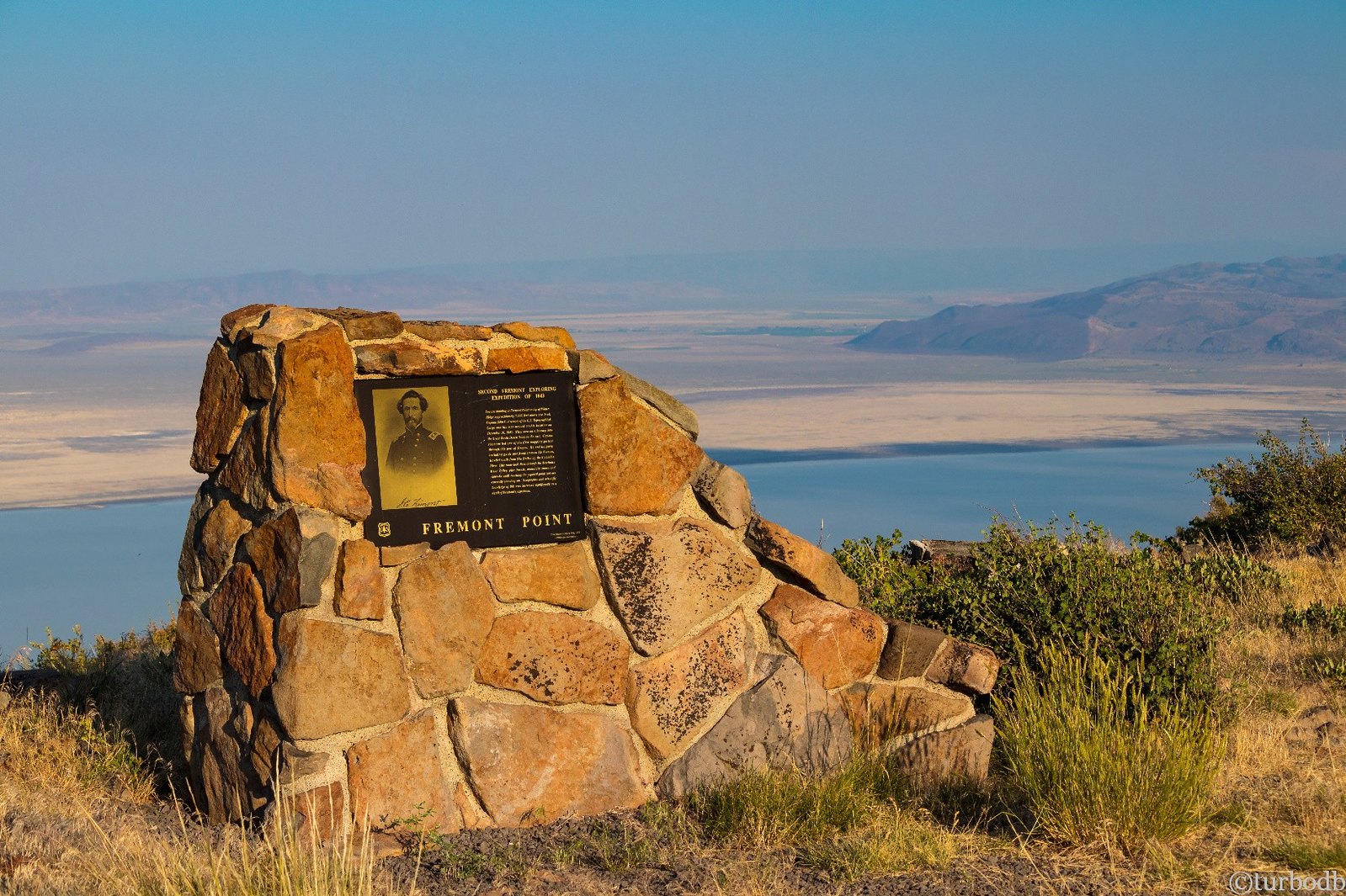
Shortly before 7:00, we arrived at Fremont Point (on Winter Ridge) to a fantastic view of Summer Lake and thousands of butterflies. We later learned that the hatch happened the previous day.
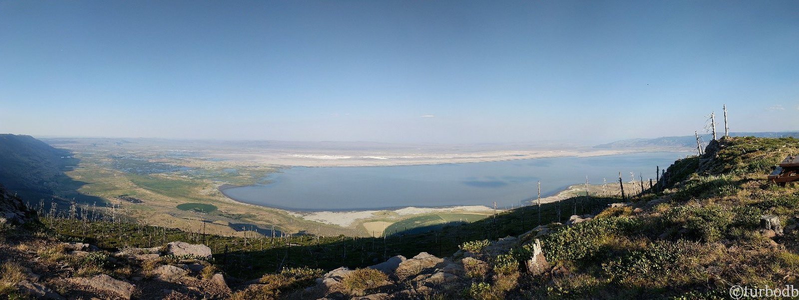
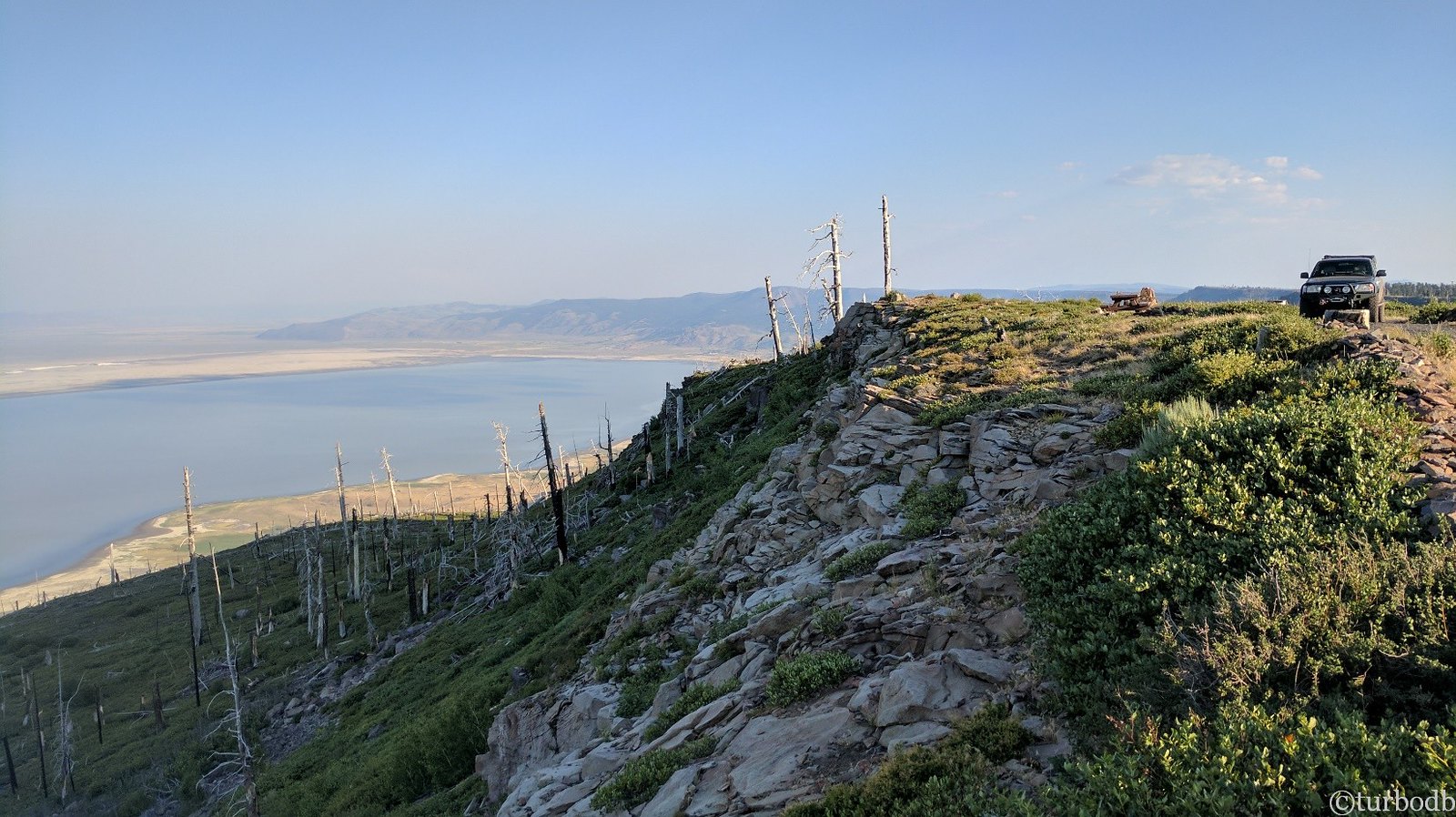
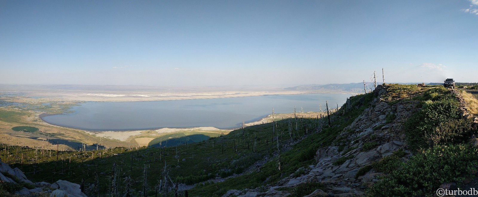
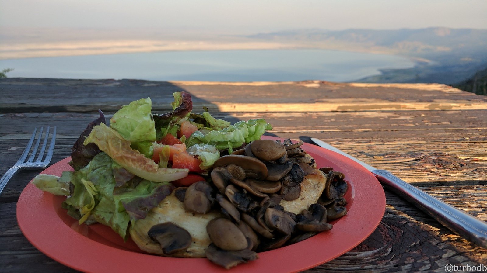
We found a nice overlook and while I setup the tent and played with the HAM radio, @mrs.turbodb warmed up the chicken and mushrooms I'd prepped before we left, and made a salad to go along-side. With the wind at our backs, we looked out over Summer Lake and relaxed - the first full day of OBDR behind us.
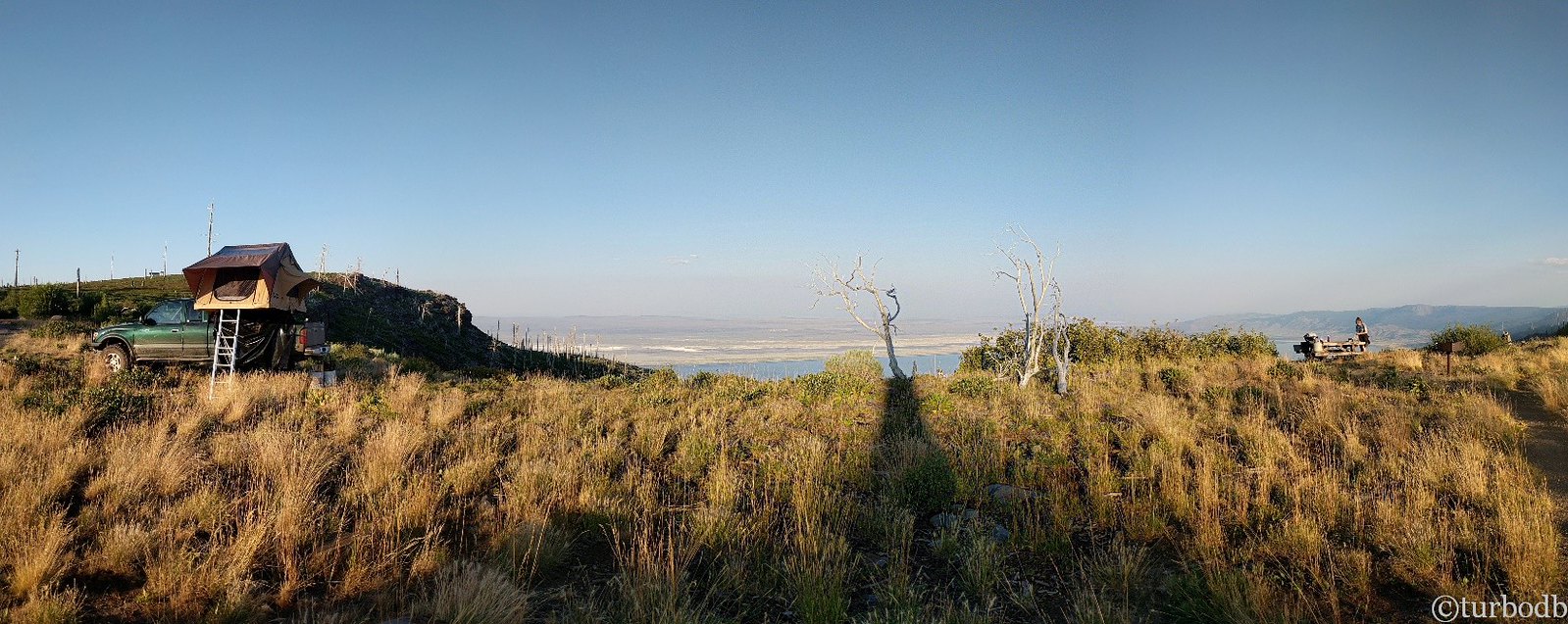
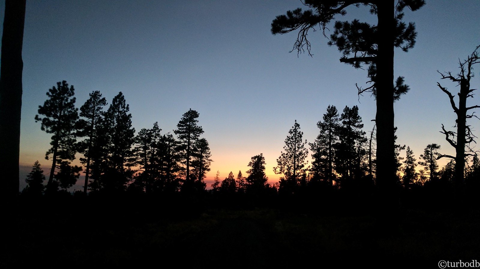
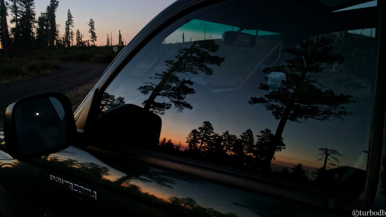
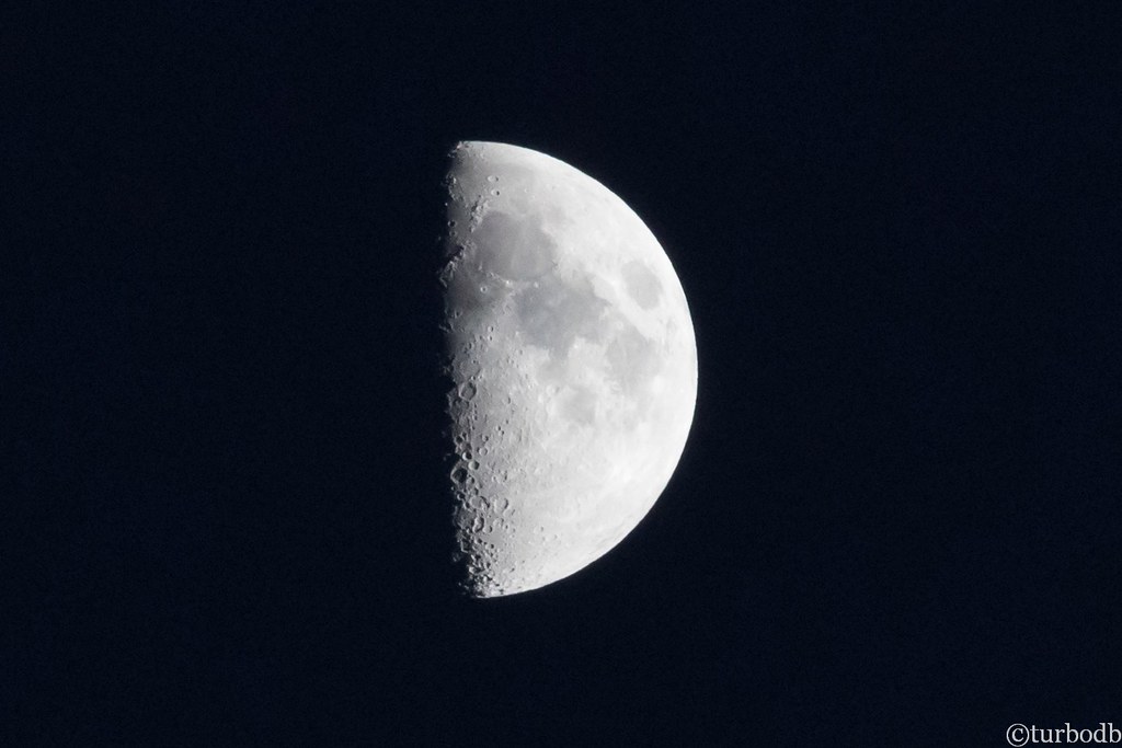
Then, this amazing sunset. While the smoke didn't make for the greatest views during the day, it did help the sunsets and sunrises be extra brilliant. We climbed into bed the comforter kept us warm, even on the windy ridge. We'd get less sleep due to that wind, but at the time it was a welcome respite to the heat of the day and we nodded off to sleep under a half-moon.
Little did we know that our first full day had been one of our easiest. There was much adventure and excitement in store over the days to come.
")


