Having hit the sack relatively early (a drawback of being solo and not chatting into the evening around a fire), I was well-rested as I awoke to catch the sun chasing the moon on the eastern horizon.
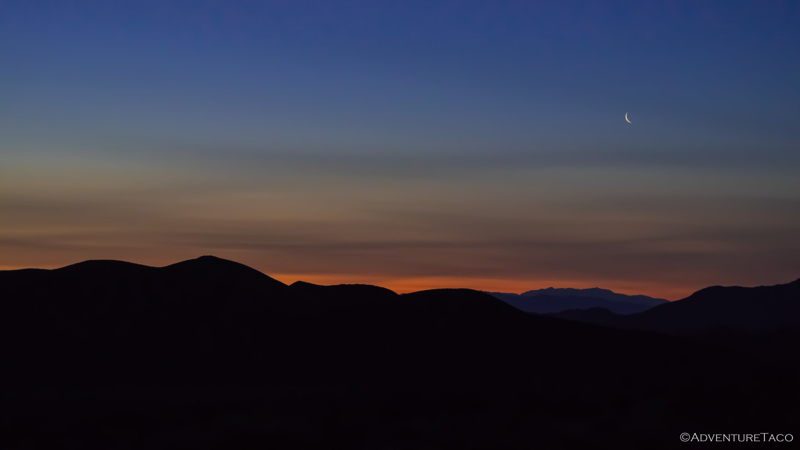
One of my favorite times of day, I climbed out of the tent and sent a mental message to the burros to shut the hell up. There were approximately 20 of them in the valley, and they'd been going at it all night. I found myself yearning for the last trip - where we'd not seen a single burro - clearly a blessing (though we viewed it as a bummer at the time).
Of course, the burros didn't stop, but either did the sun - and I took full advantage of the morning light coming into the valley, and eventually onto my camp.
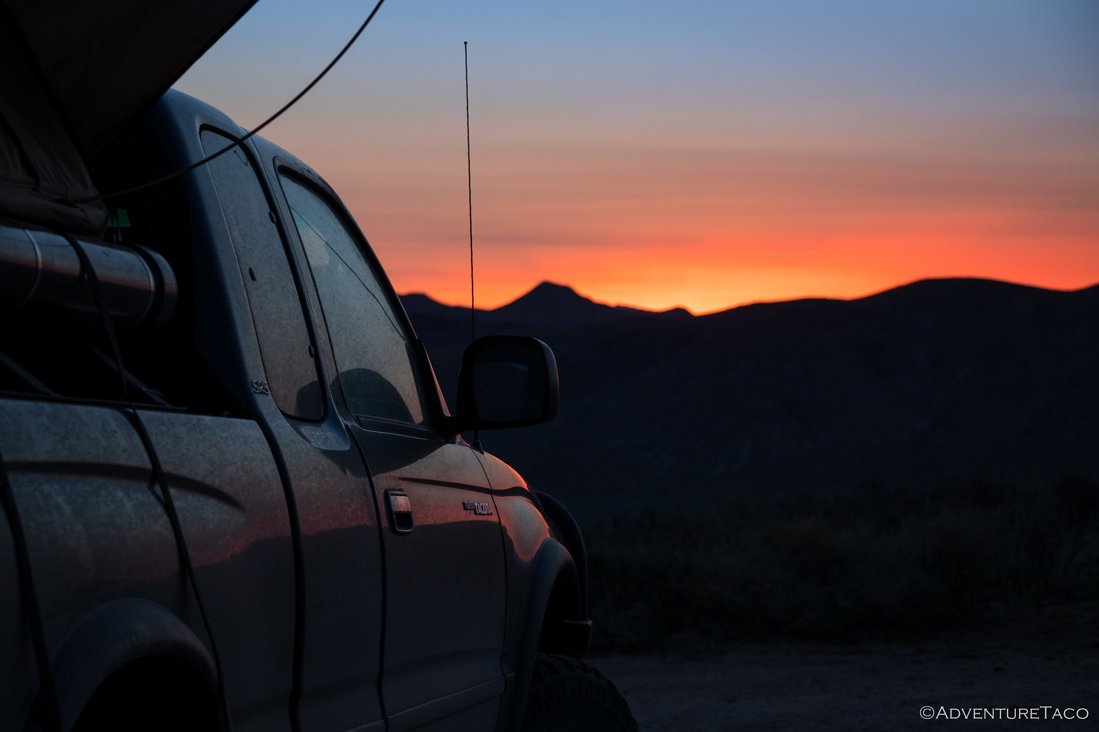
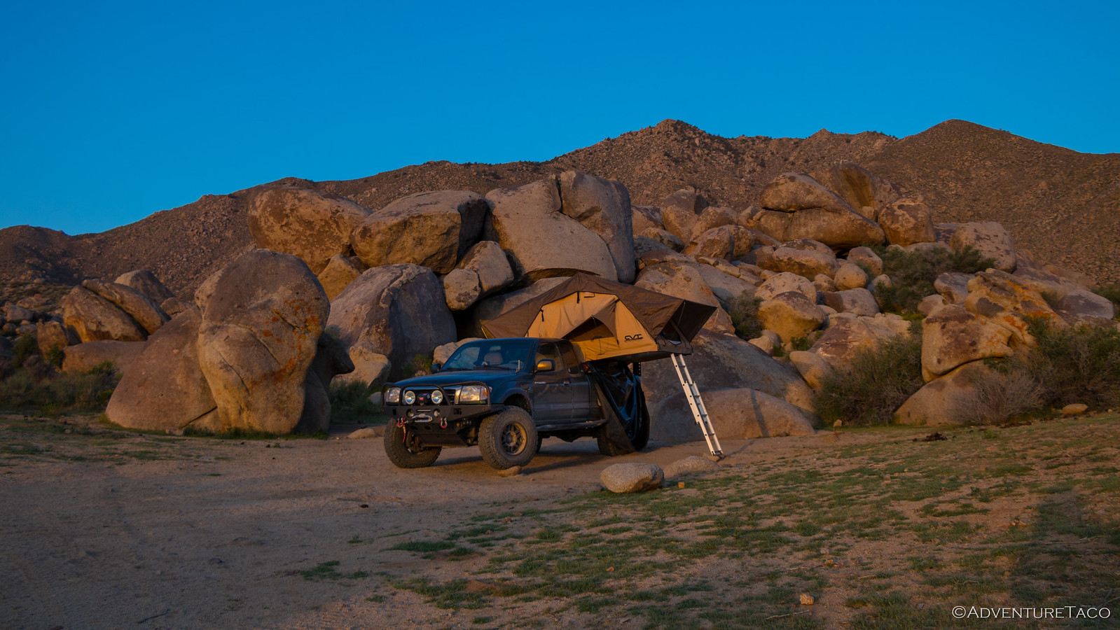
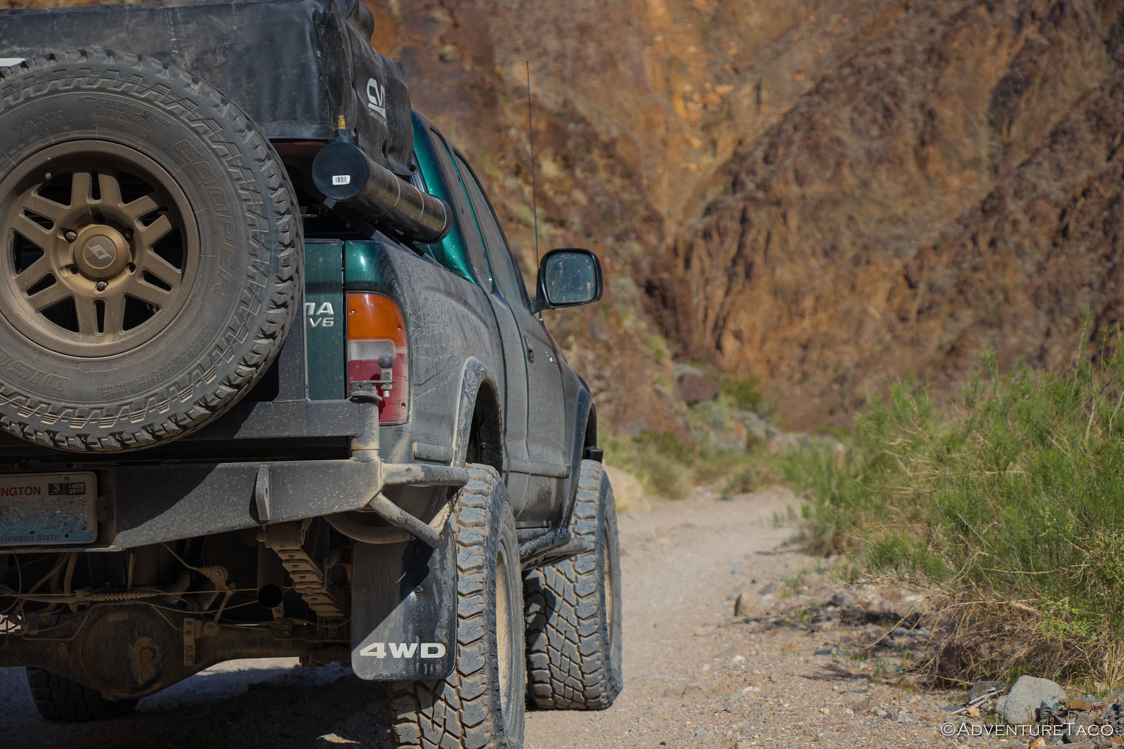
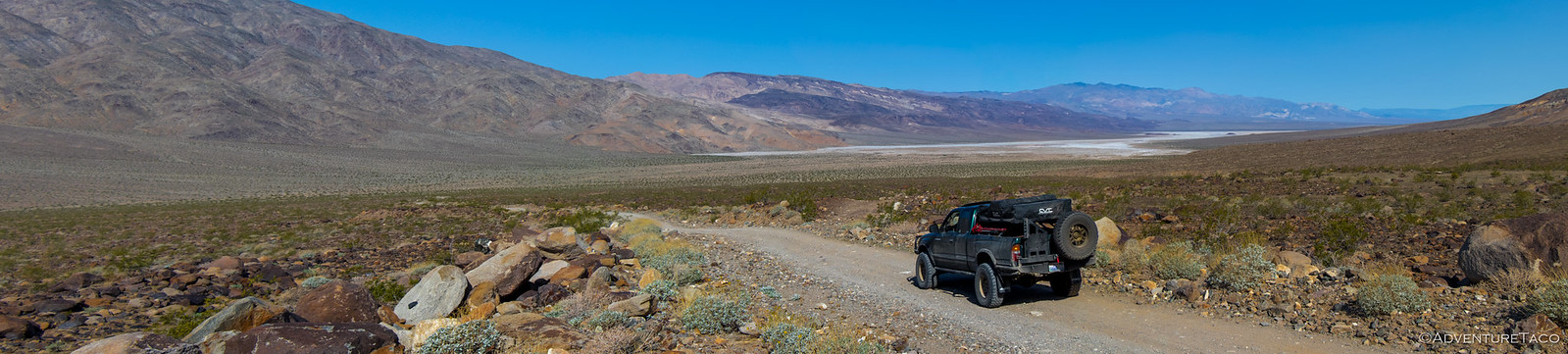
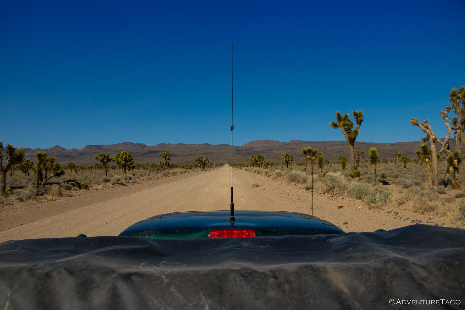
As the sun rose, I packed up the tent and ate a quick breakfast - eager to get on my way, a full day ahead. The plan was to end up at the north end of Saline Valley, at the warm springs by the end of the day - but there was a lot to do before that, starting with a drive through Goler Wash - one of the highlights of the south end of the park in my opinion!
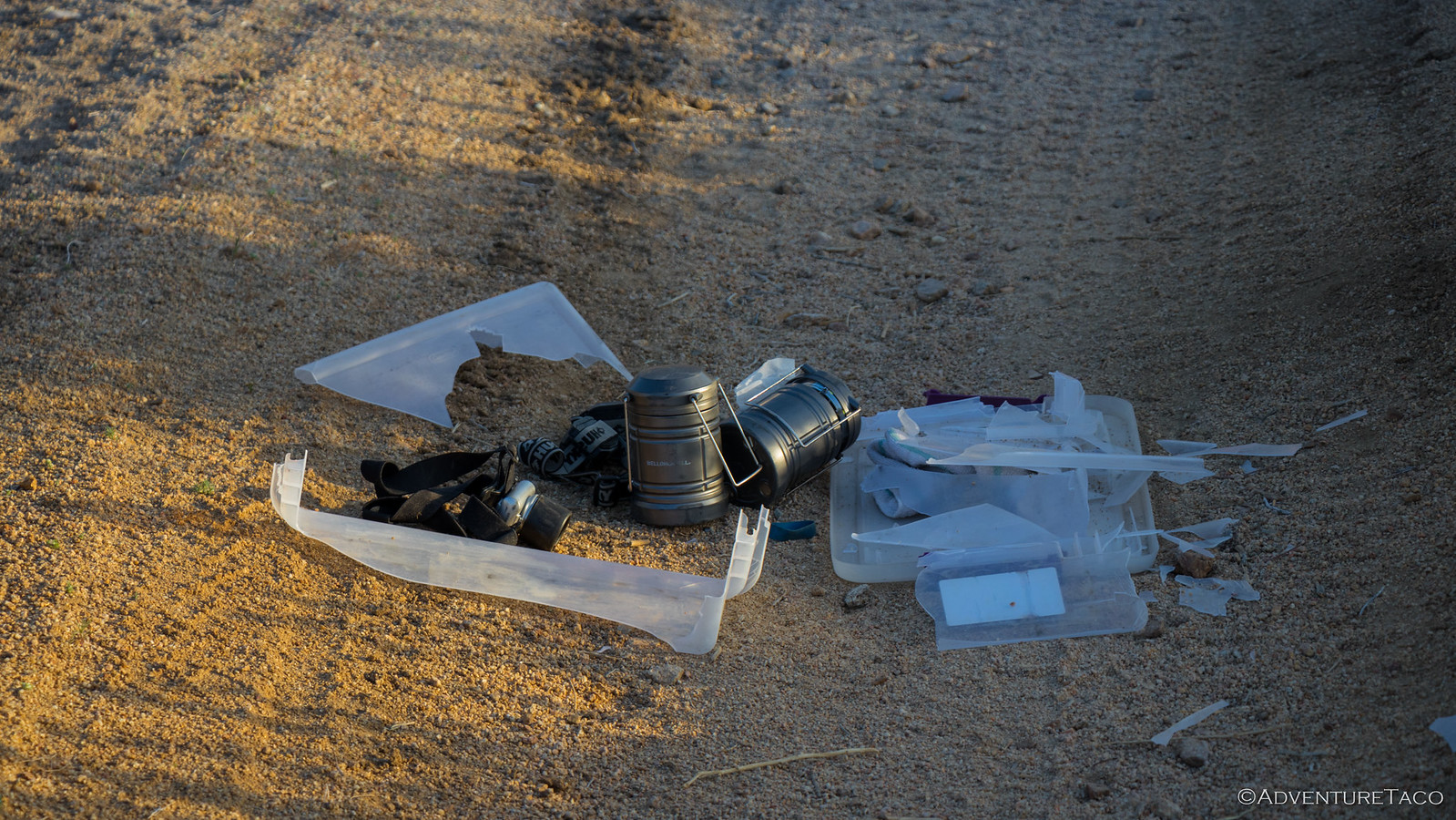
And then - as I pulled out, I saw a fast moving object in my side mirror. And then a crunch from the back driver tire as I rolled over our headlamp and nighttime shoe storage container. Man, I really can't catch a break this trip.
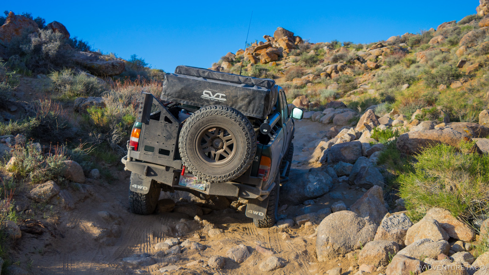
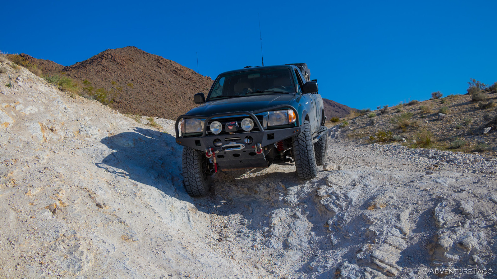
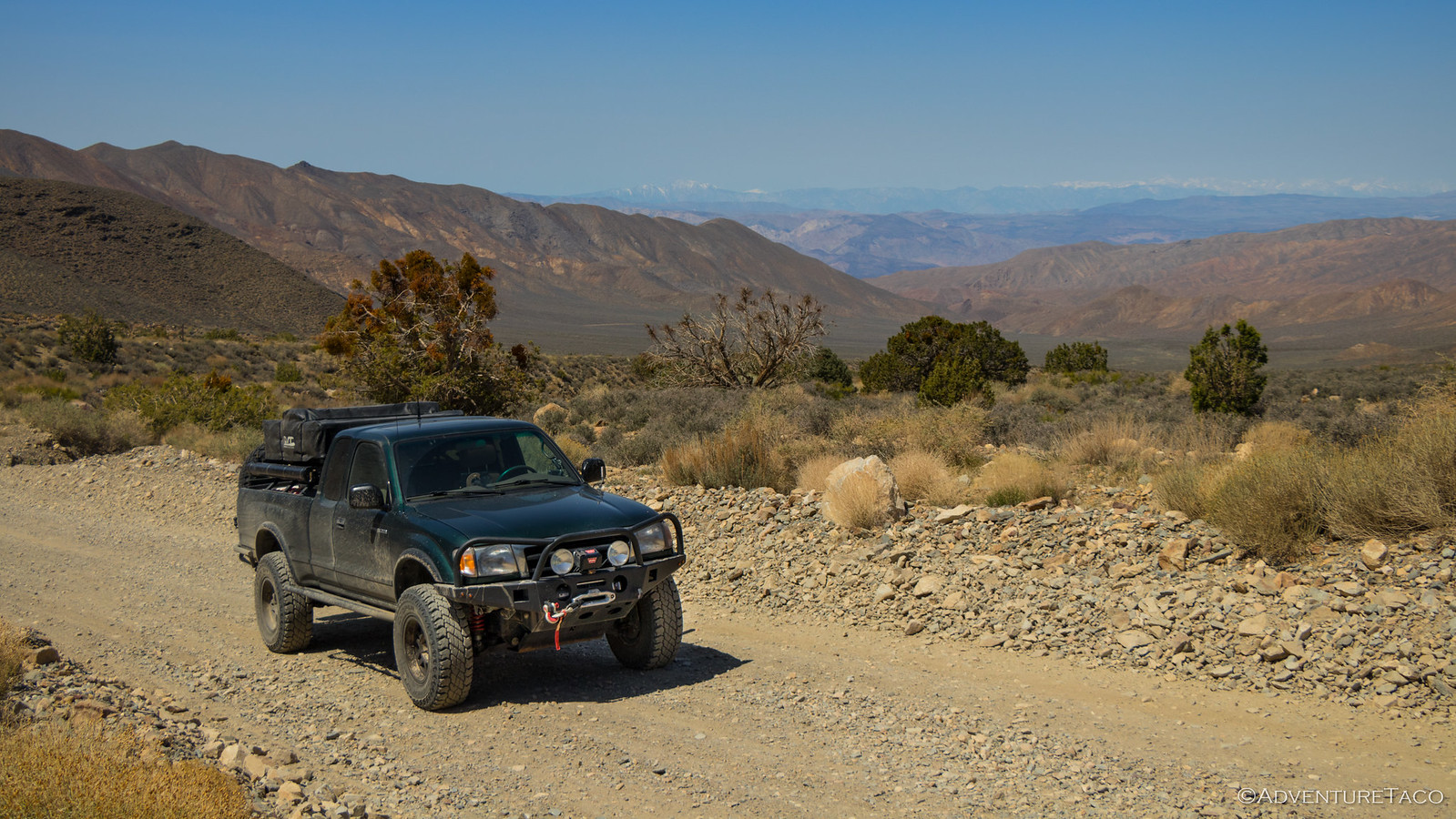
After picking up the pieces, I made my way out of the valley, and it wasn't long before I came to the "gatekeeper" obstacle between Goler Wash and Butte Valley.
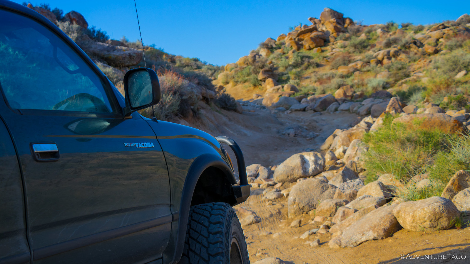
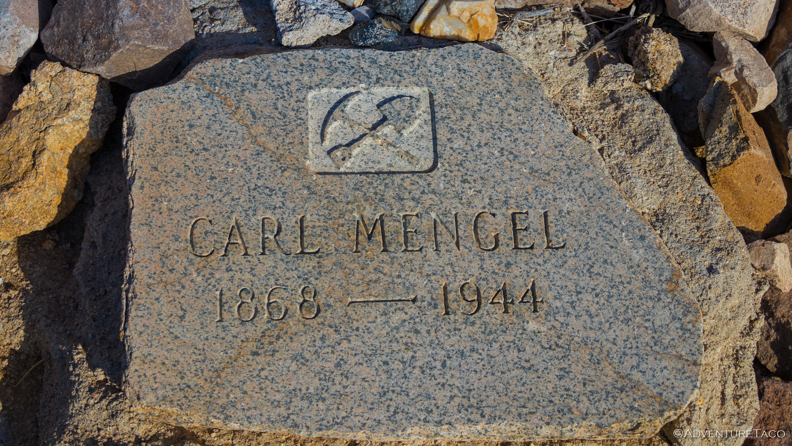
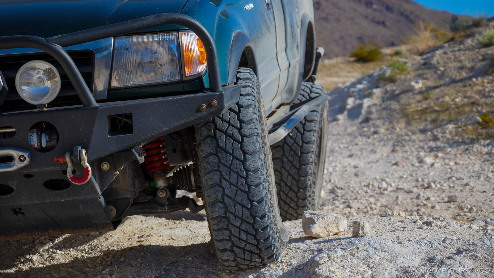
While this section of trail is more technical than anything on Warm Springs Road, it's still not really that bad for a Tacoma and I made my way up with little fanfare, stopping for a photo-op at the top of Mengle's Pass.
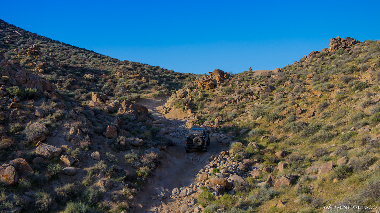
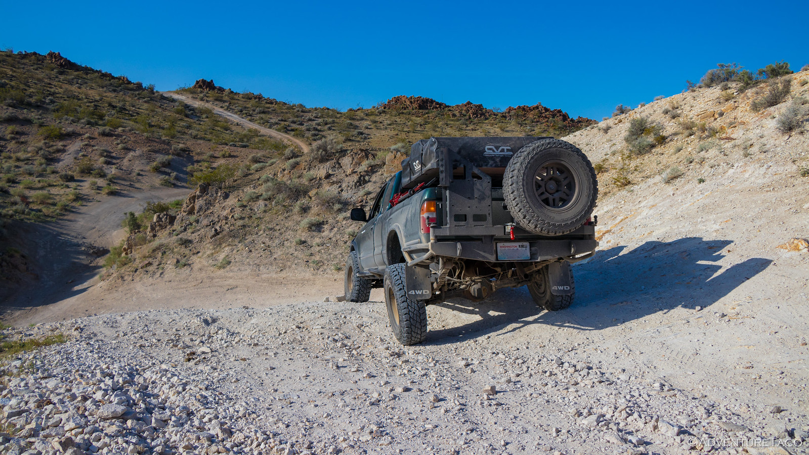
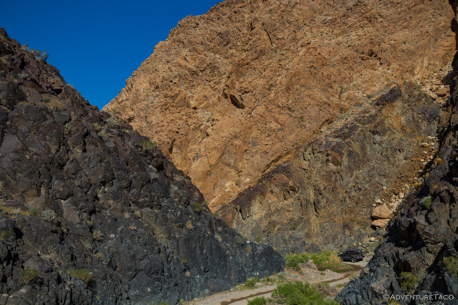
From there, I continued into the wash, soaking in what was essentially a new experience since I'd never driven (or seen) the wash in the east-to-west direction. Perhaps because of this, there were also a couple places where I got off-track - fun, since it allowed me to explore even more new places in the canyon, until I eventually came to the only other semi-technical part of the trail. There's a bypass here, which seemed to be getting a lot more traffic recently, but I headed down the main trail to do a little flexy-flexy.
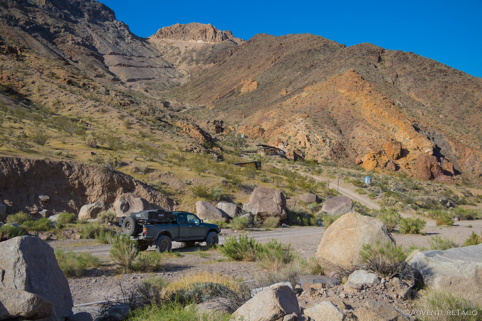
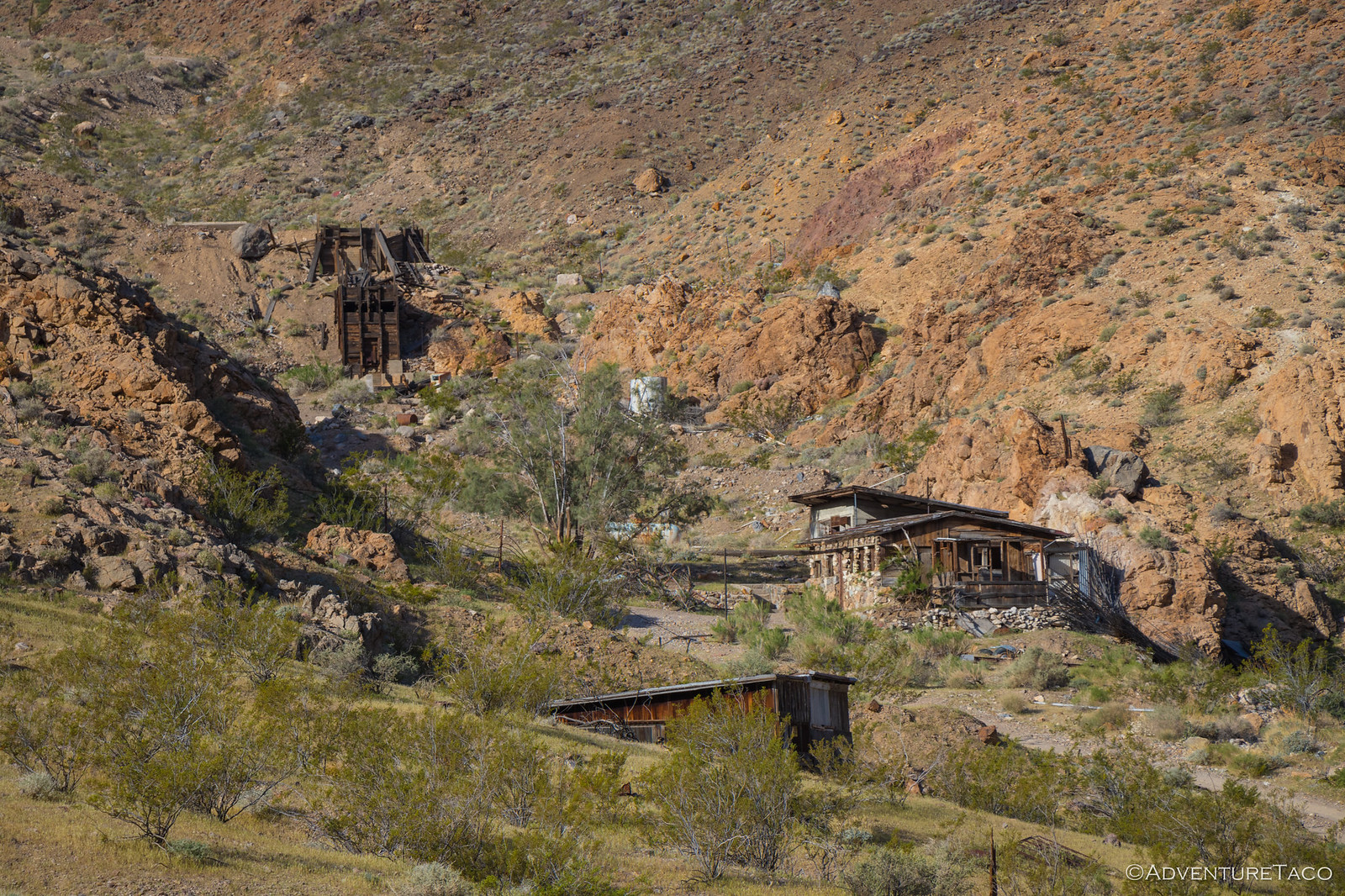
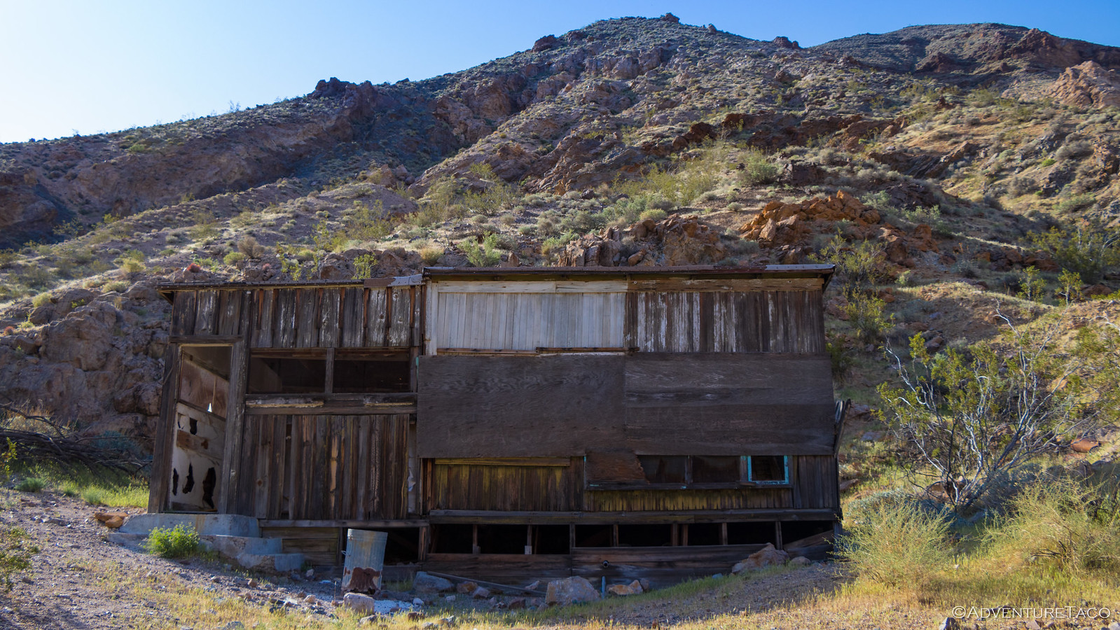
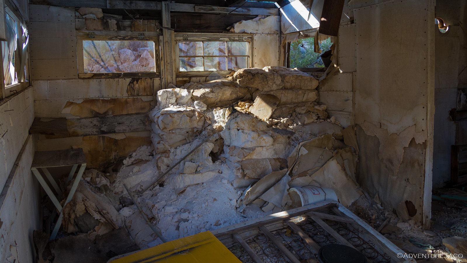
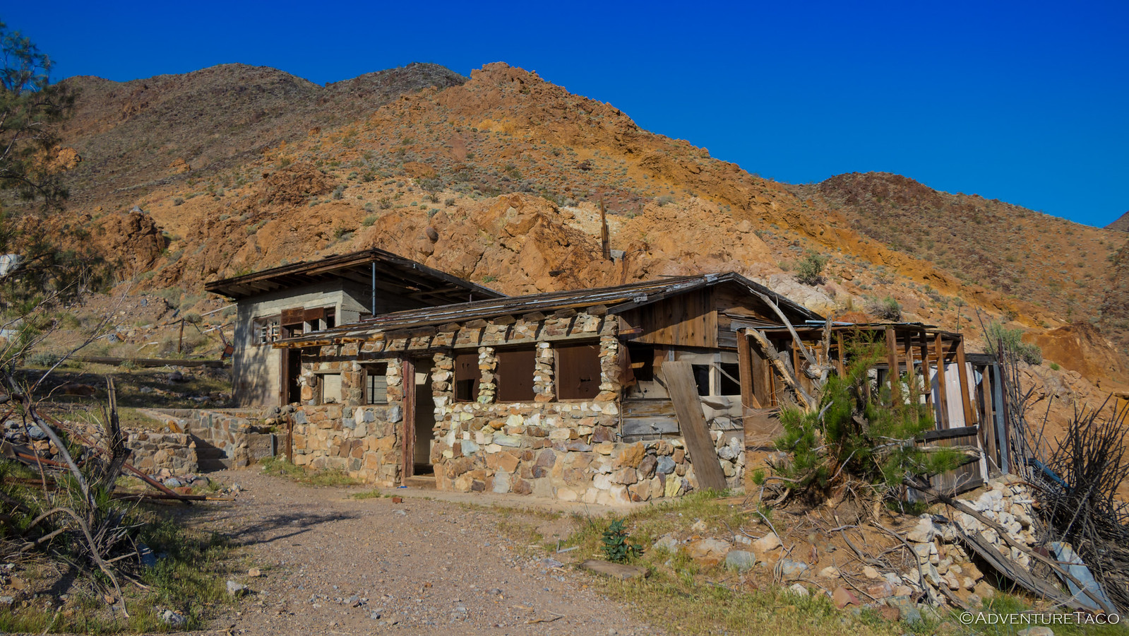
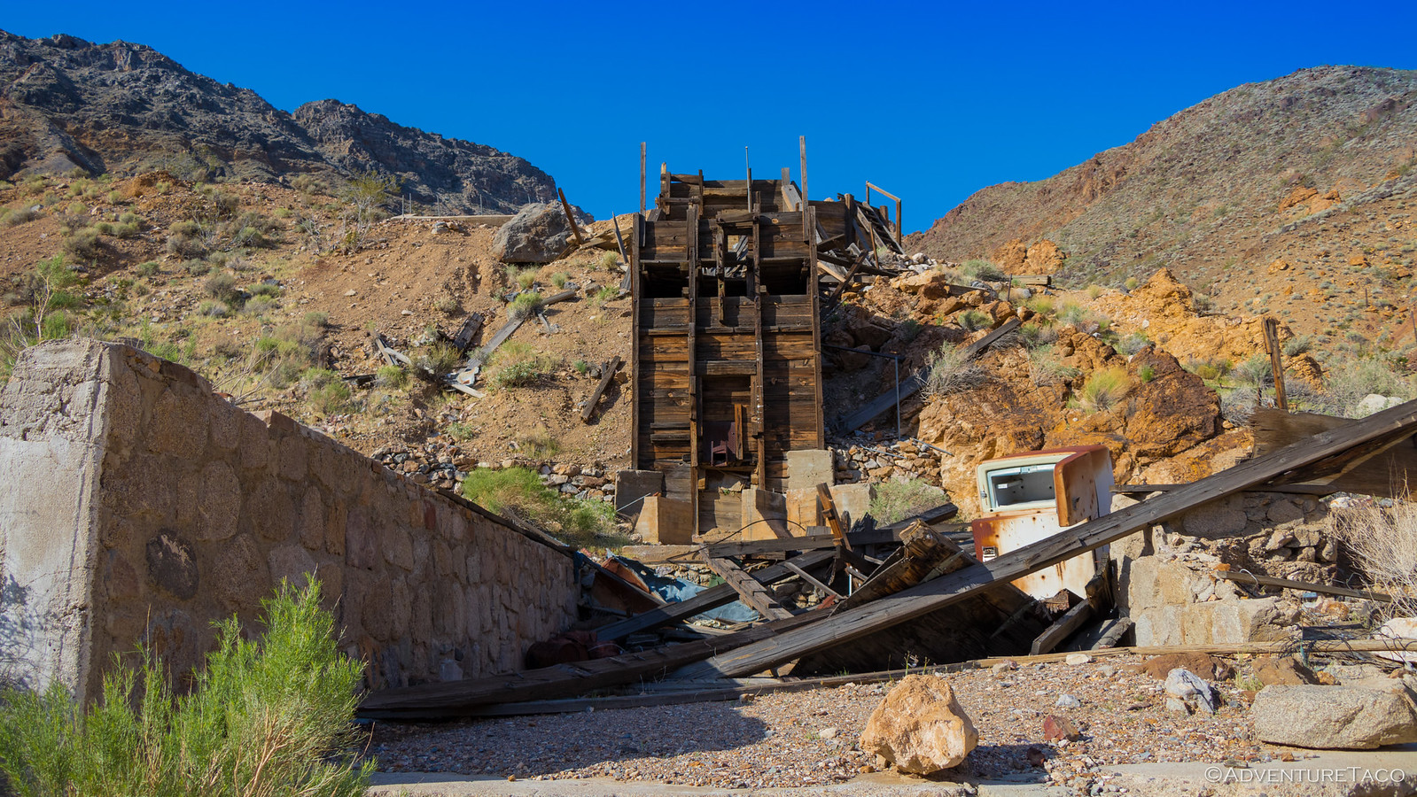
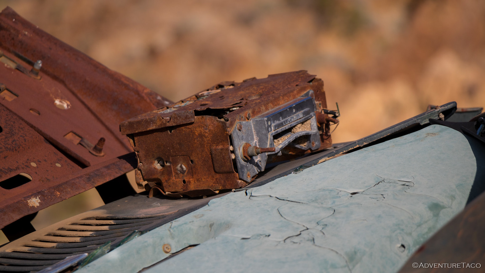
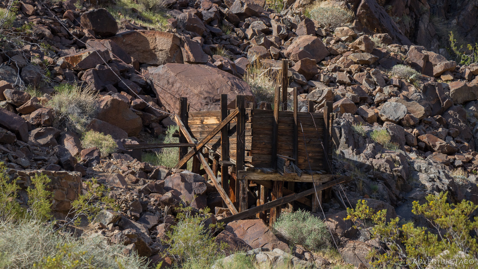
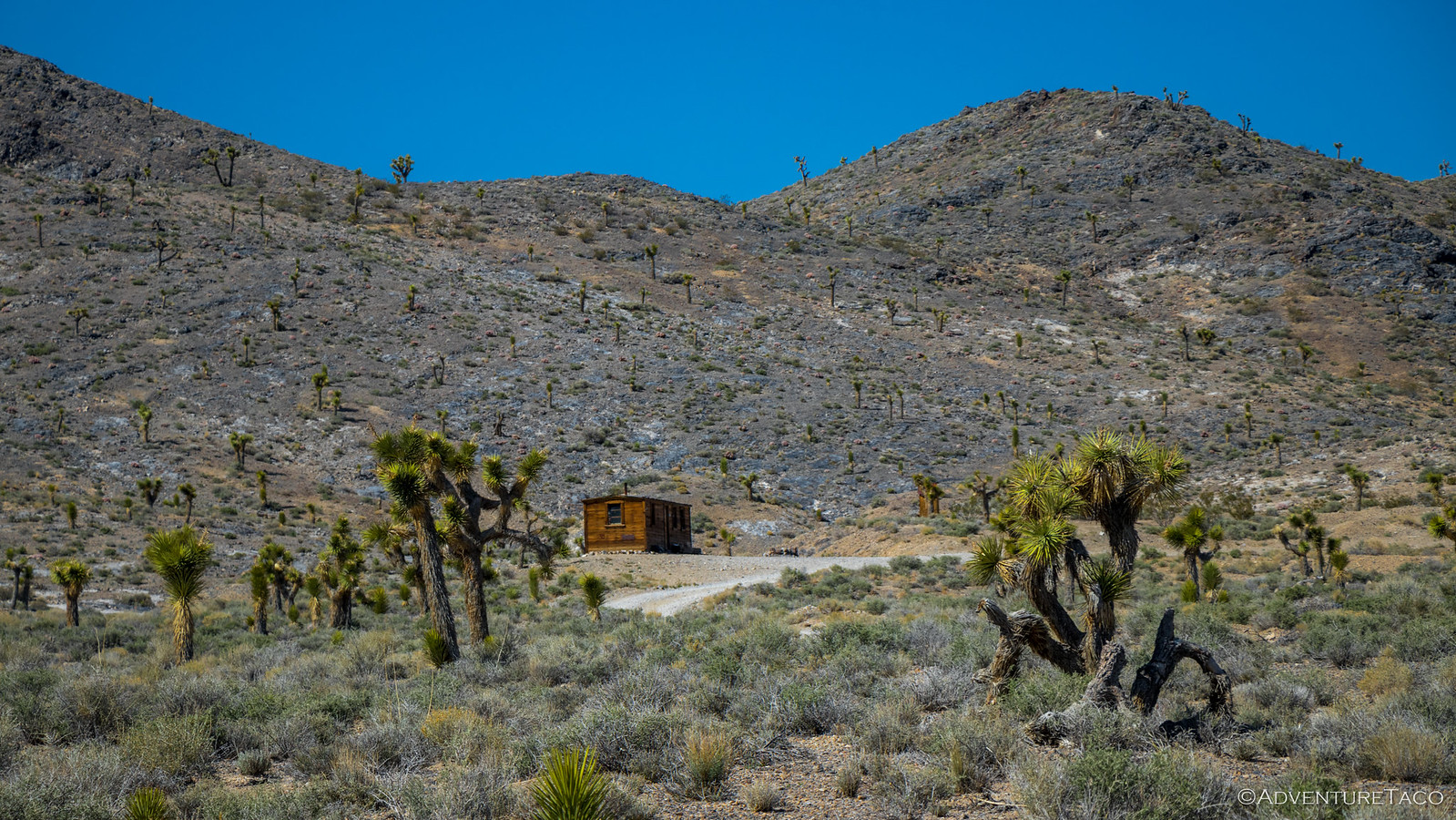
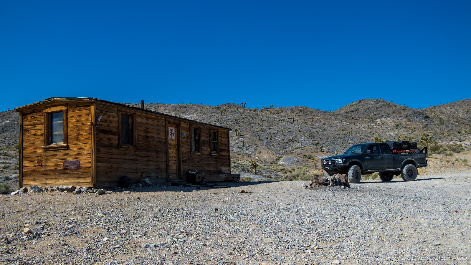
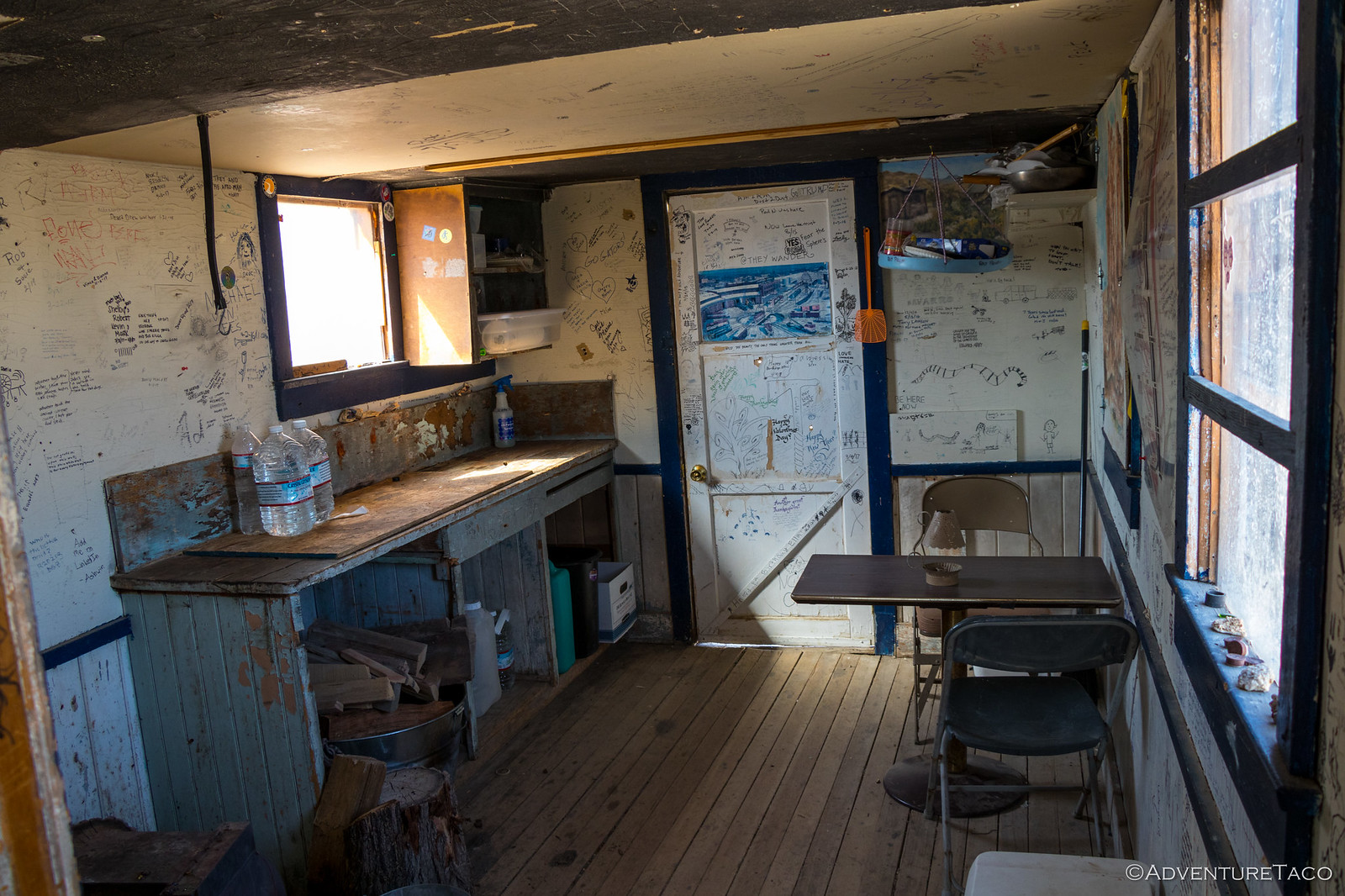
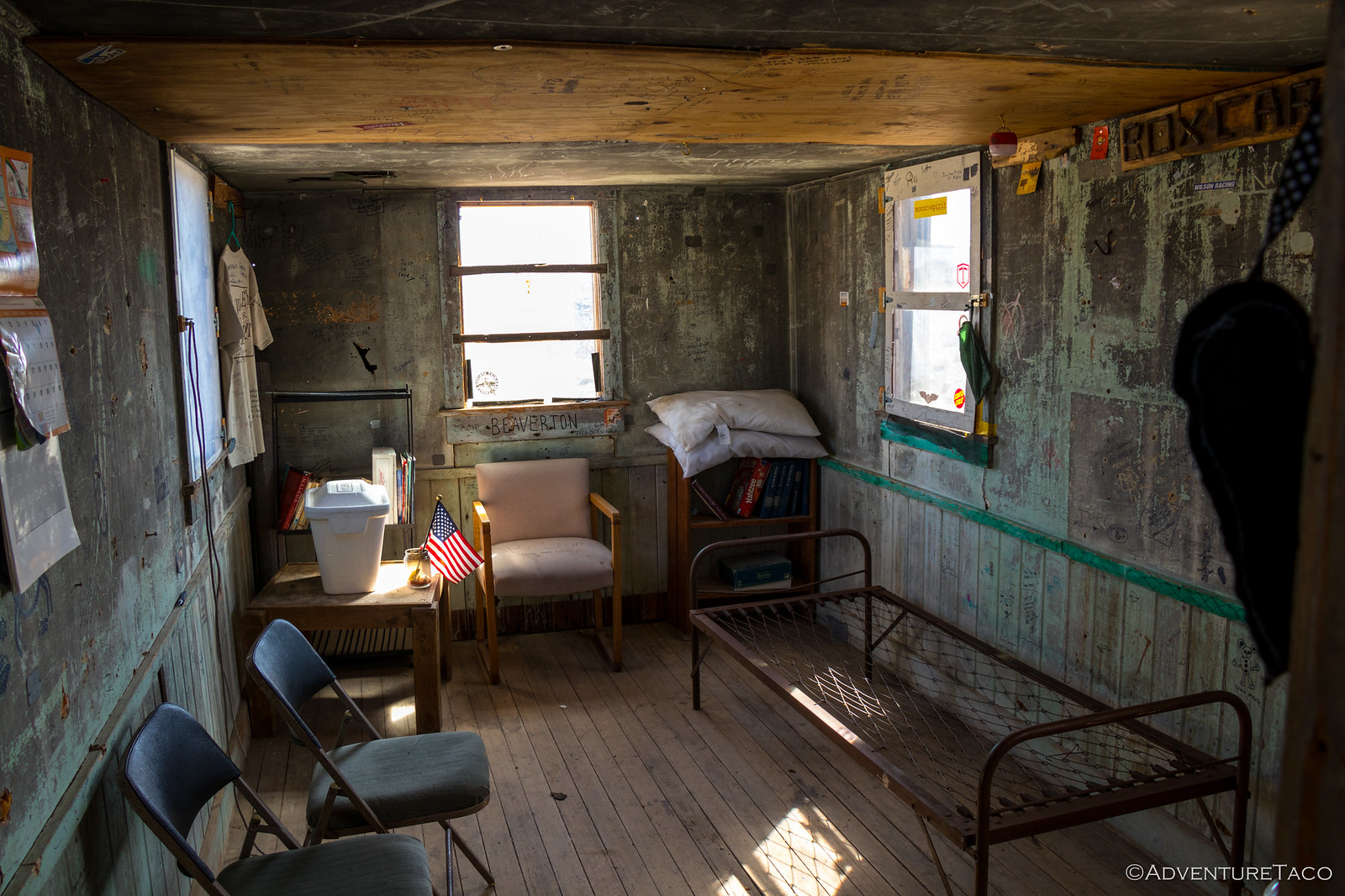
And then, I stumbled upon the highlight of my trip through the wash. Our last time through from the west, we'd completely missed the Lotus mine - I mean, we had no idea it was there and drove right by. From the east though, it was impossible to miss, and I spent a good half hour exploring the site, which is in remarkably good shape with a bunk house, main house, vehicles, and lots of mine fixtures in various states of disrepair.
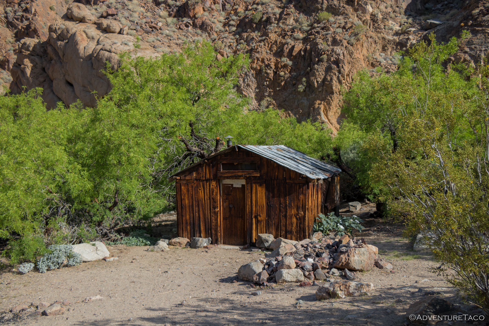
Continuing towards the western mouth of Goler Wash, I couldn't help but stop at Newman's Cabin and the surrounding mine. Surrounded by lush cottonwoods (now covered in leaves - a dramatic change from January) it seems like such a great site. It's really too bad that it's not well maintained in the same way as the the Geologist Cabin in Butte Valley.
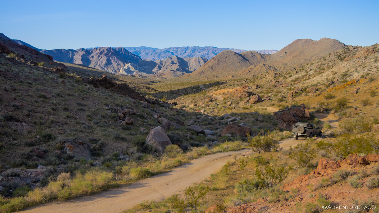
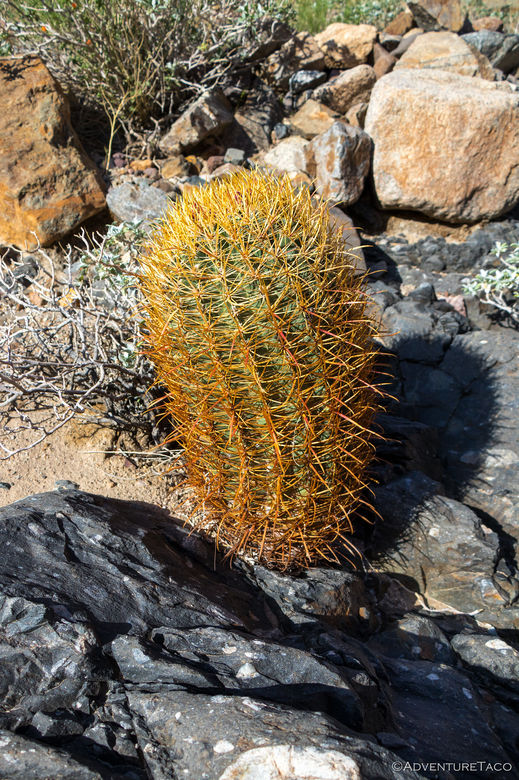
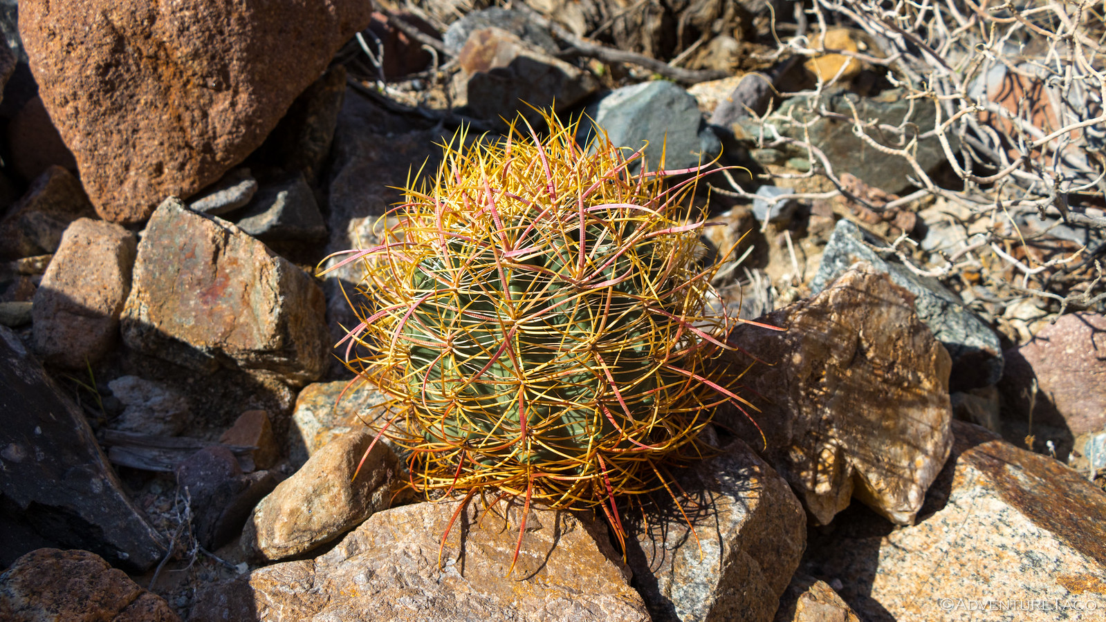
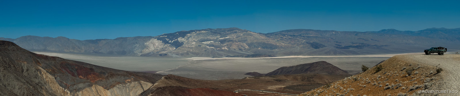
As I wound my way west, the walls of the wash tightened up, grays, blacks, and oranges illuminated by the sun and covered in barrel and cottontop cacti. And then, with no warning, you're spit out into Panamint Valley.
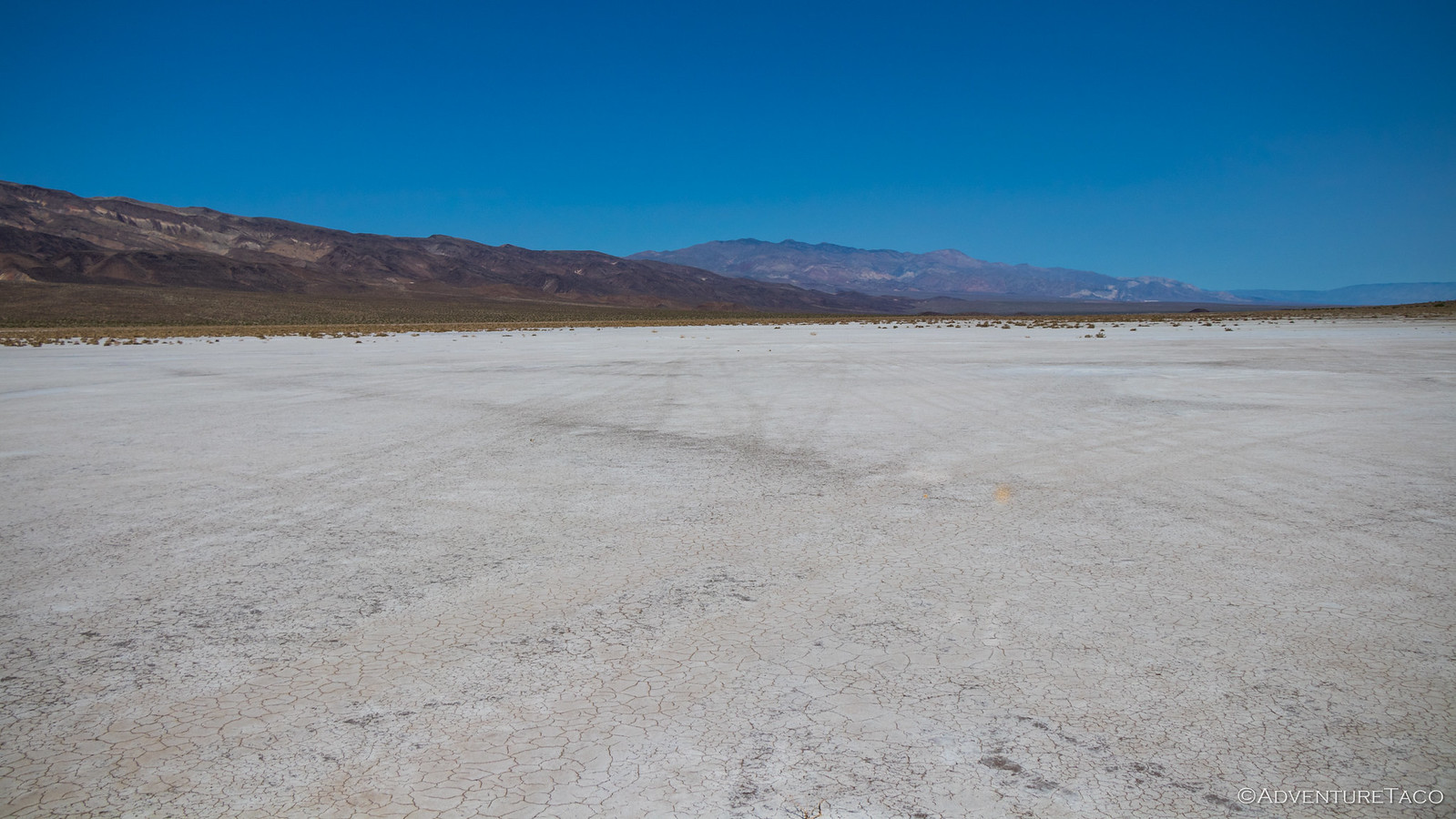
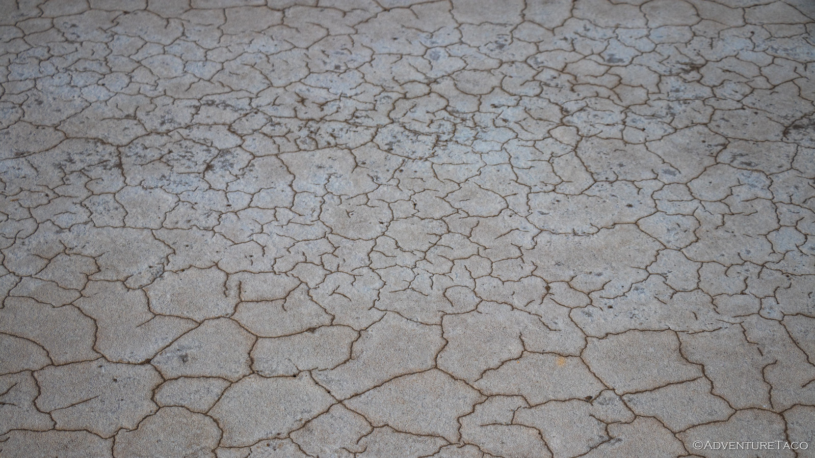
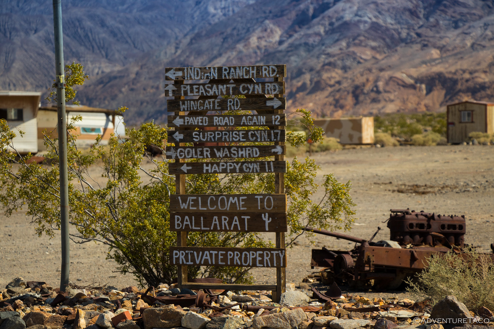
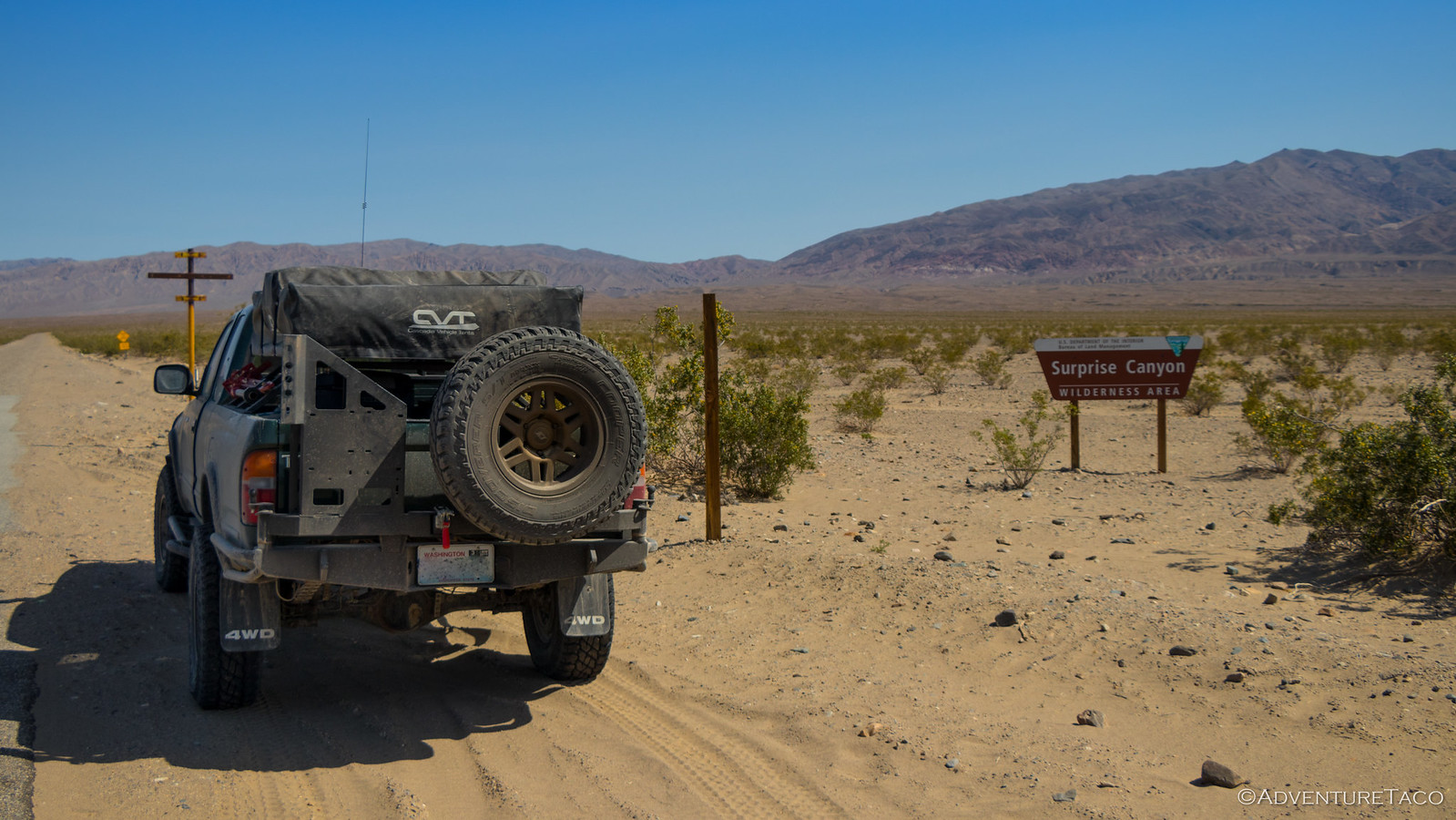
As I took in the vastness of the valley, I was delighted to see that it was much less dusty than Death Valley had been the day before. I'm not sure if this is generally the case (I suspect not - it was quite dusty in Panamint during our trip in January) but I took full advantage, stopping to investigate the salt flats that we'd skipped, as well as making a quick stop in Ballarat, where several different groups of Jeeps were staging for (I assume) Goler Wash.
I was glad to be out before they'd started in.
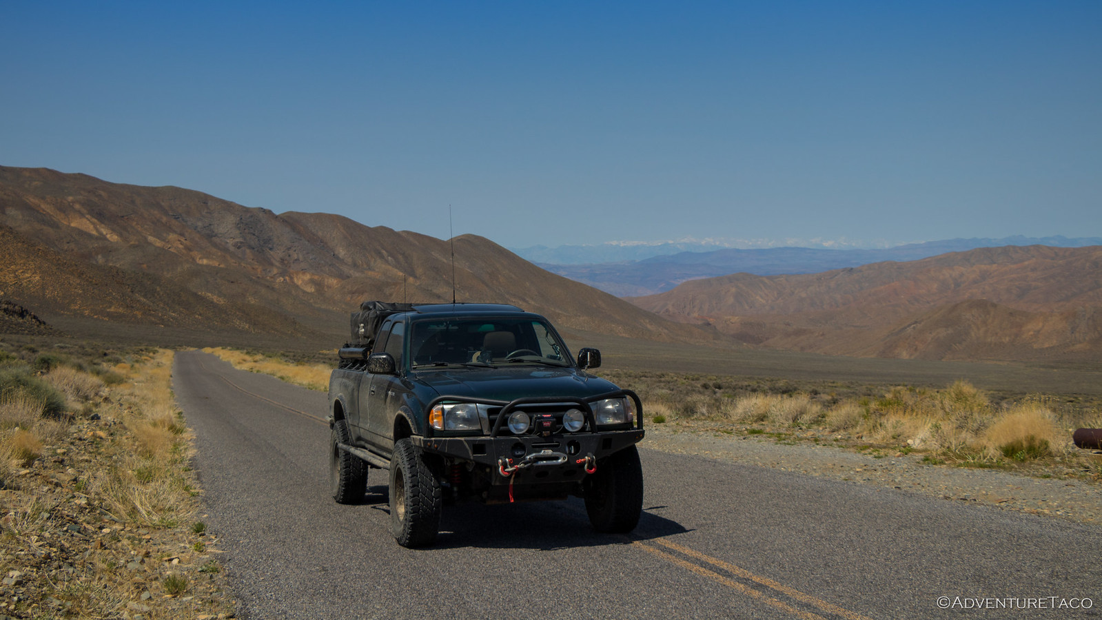
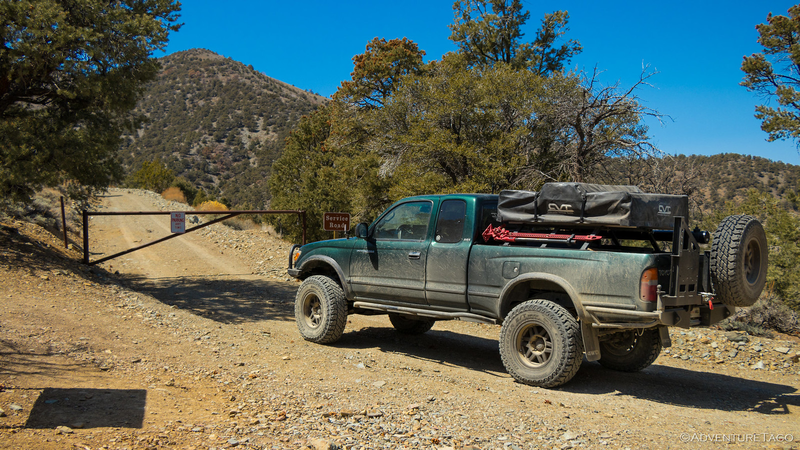
From this point on, the trip was going to cover a lot of new ground, and as I started up Wildrose Peak Trail toward Charcoal Kilns, I was immediately caught off guard. I'd expected that since the Kilns were a ways up in the Panamint range, that the trail would be rough - or at least slow going. So, when I saw that it was paved...well, I had myself a good laugh.
Maybe getting to Saline Valley today wasn't going to be as tough as I thought!
An astute reader may notice that in the previous photo, the driver-side d-ring is still (barely) on my front bumper. Despite many photos, I didn't notice until 24 hours later, but within the next 6 minutes (given time stamps on the photos), I'd be running without it.
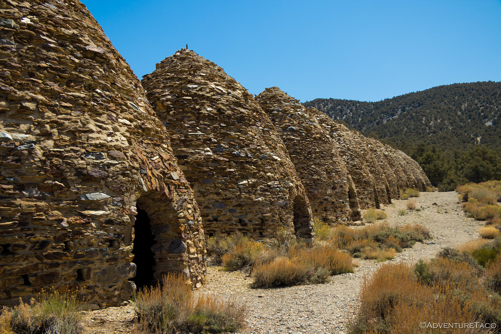
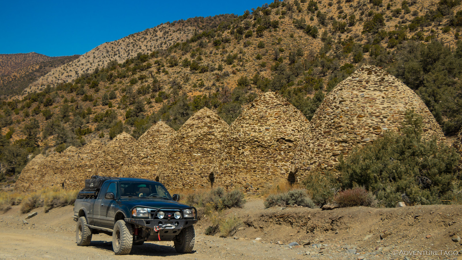
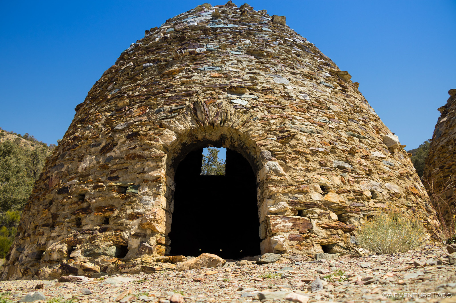
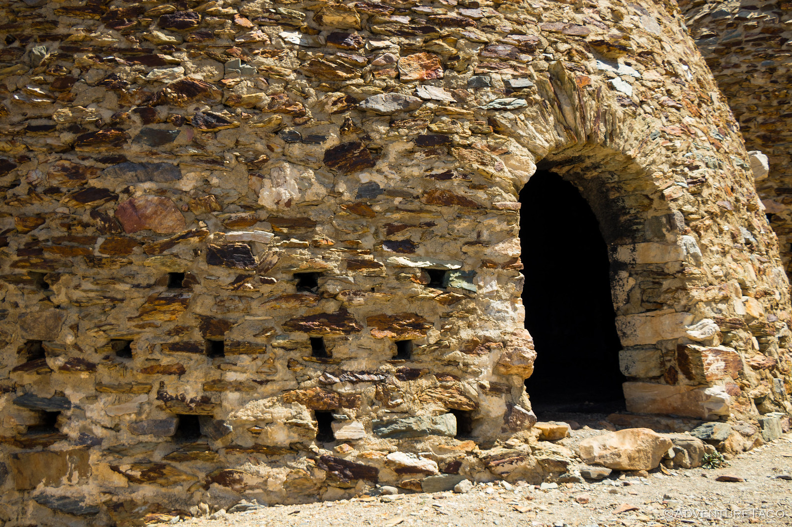
As the pavement eventually gave way to the one of the most nicely graded gravel roads I've driven (understandable, given that upper Wildrose had only been opened to vehicles a few days before), I quickly found myself at the Charcoal Kilns - a place I'd regretted not visiting on our last trip.
Quite a sight to behold, I found it interesting that the "upper walls" of the kilns seemed to be more rushed in their assembly - a sign that the masons were ready to be done?
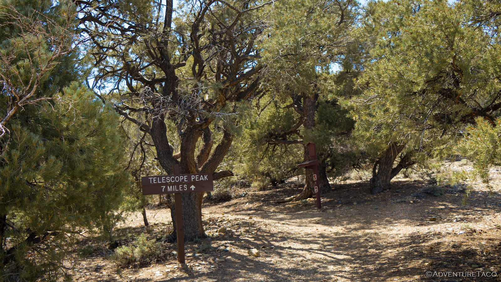
Now, I'd planned to turn around at Charcoal Kilns and make my way north, but given the quick ascent and the realization that it takes a lot for me to get all the way down to Death Valley in the first place, I decided I should continue on - to see where the road would end.
I hoped it would take me to Telescope Peak. Or at least close. The map I had suggested it might!
As folks more familiar will know, it didn't (of course) - the road continues up and up, eventually reaching Mahogany Flats campground and a (locked) service road to Rogers Peak and a seven-mile foot trail to Telescope Peak.
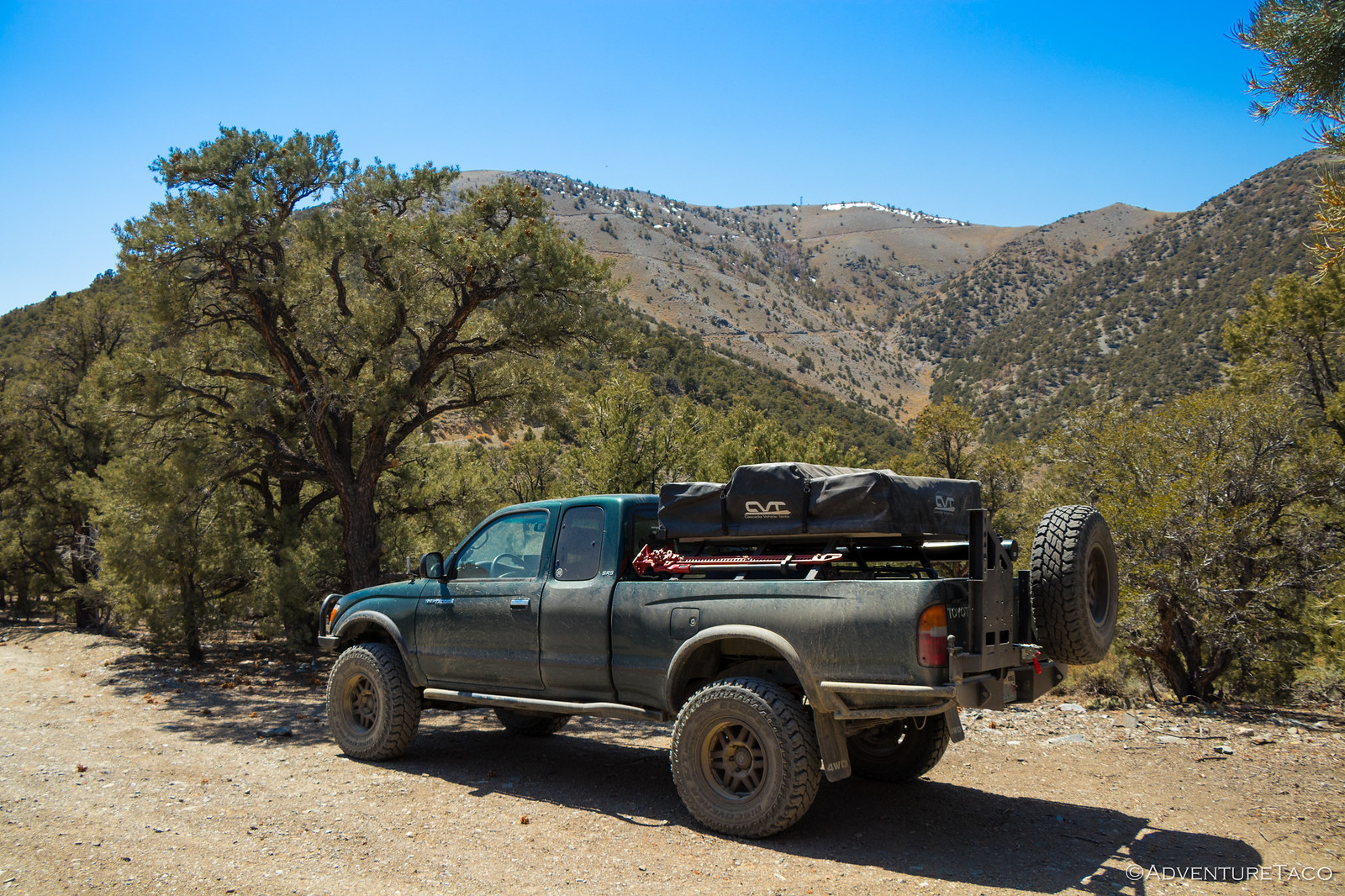
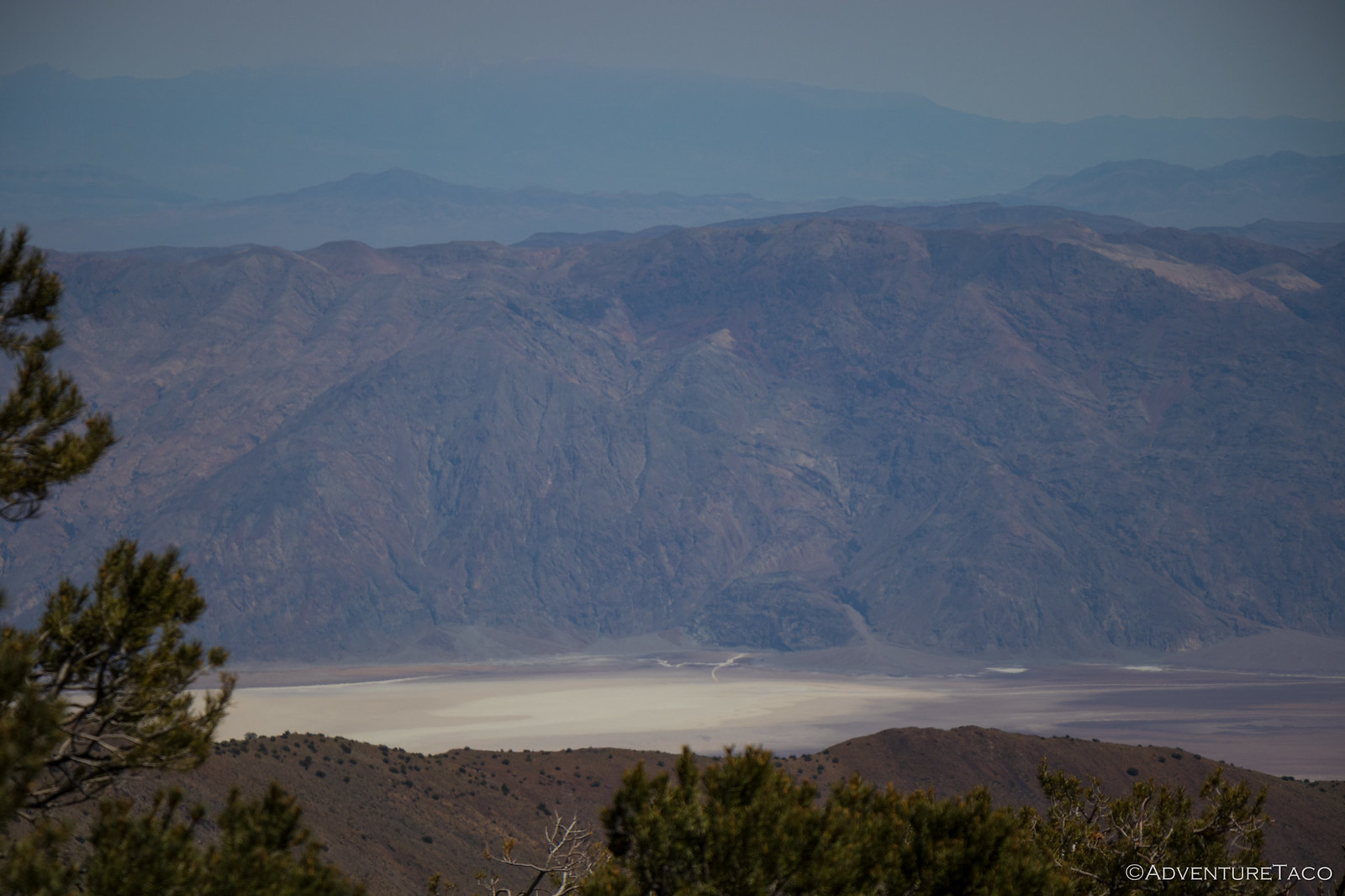
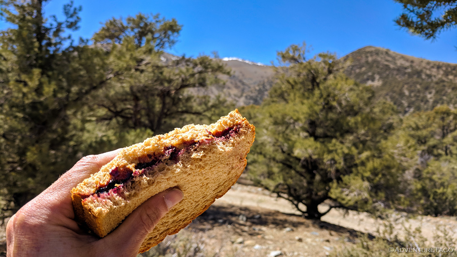
I decided that this was a great place to eat lunch - with a view of both Rogers Peak and Death Valley (Badwater Basin) in the distance.
I found a relatively wind-sheltered site with a view, and soaked in the sun and solitude as I ate my PB&J.
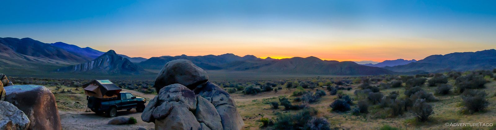
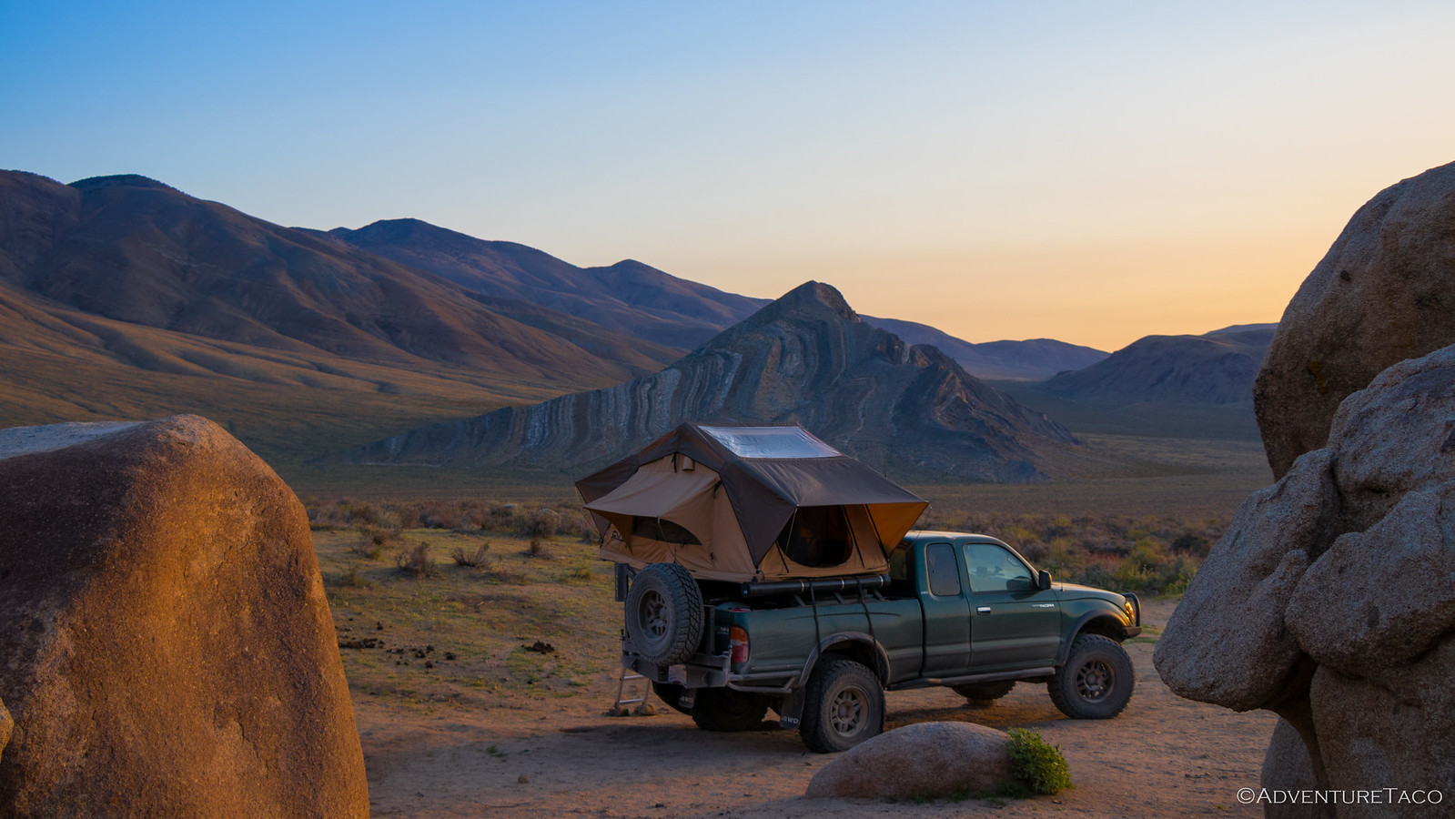
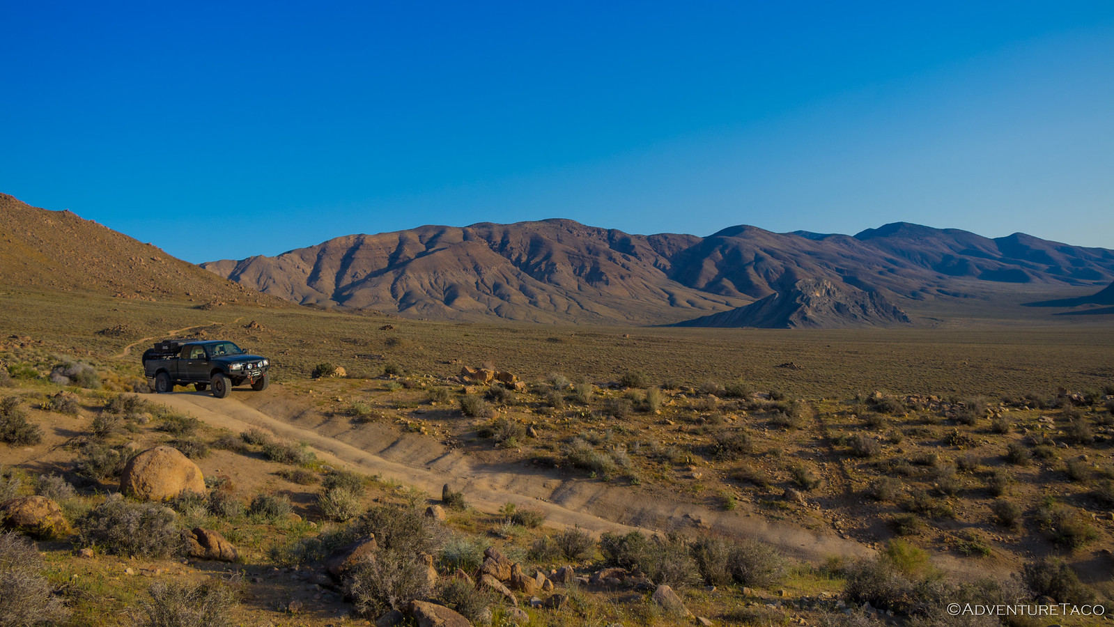
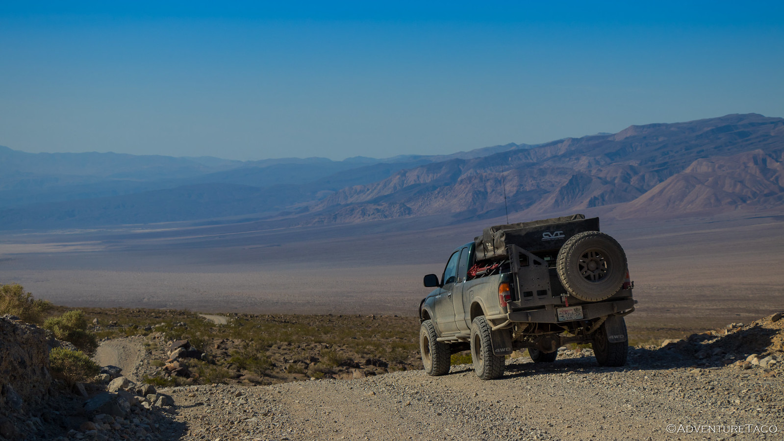
Retracing my steps (and obviously driving right by my lost d-ring), I made my way back to Panamint Valley and filled up with outrageously expesive fuel in Panamint Springs before heading northwest out of the valley, the views getting grander the entire time.
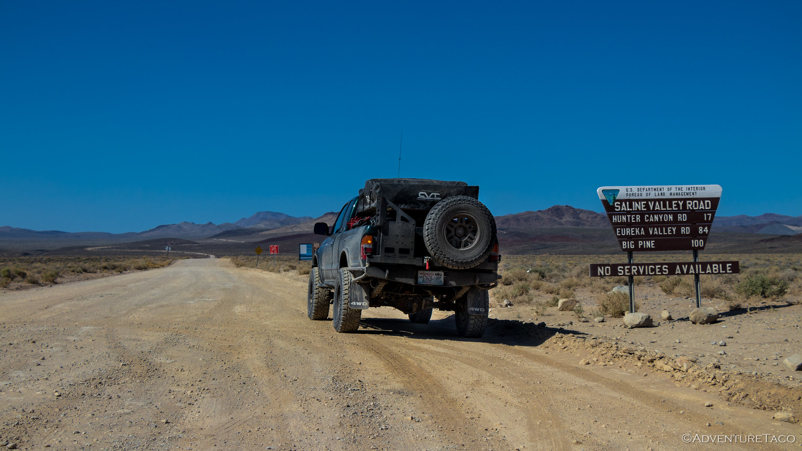
And then I entered the next phase of the trip - the suspension test, aka Saline Valley Road. The sign warned of a 60-mile trek with no services. By the time I was done, I was sure I'd put 600 miles of wear on the truck. But we're getting a bit ahead of ourselves...
Headed up south pass, I stumbled upon another cabin I'd not seen on our previous trip - Boxcar Cabin - so I spent some time looking around. A cute little cabin situated in the foothills and Joshua Trees around Lee Flat, Boxcar seems well maintained (like the Geologist Cabin) and like a great little place to setup a base.
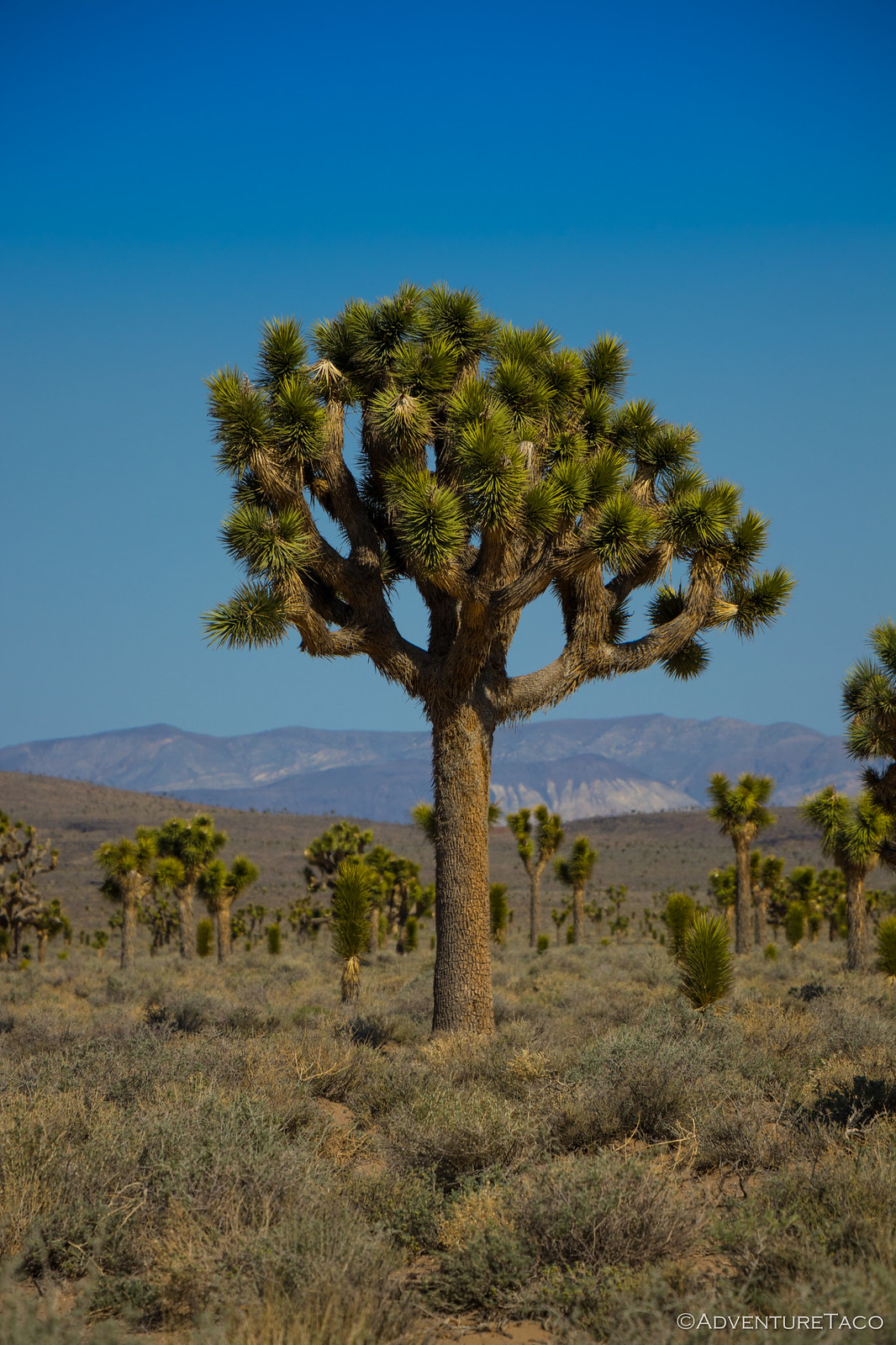
And from there, it was through the amazing Joshua Tree forest, eventually dropping into Saline Valley.
And this is where every mile you put on the odometer puts about 10 miles on the truck. Saline Valley road now takes first prize for "Worst Washboard Road Traveled," previously held by Cottonwood Canyon road. Ultimately, I channeled my inner-twenty-something and pressed the skinny pedal, knowing that I had to be ultra-alert for any washouts or larger holes in the road.
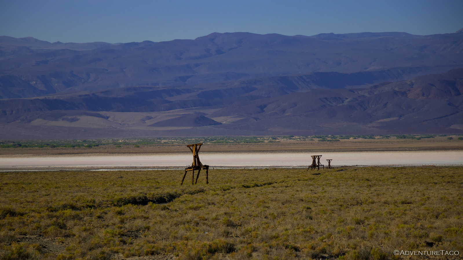
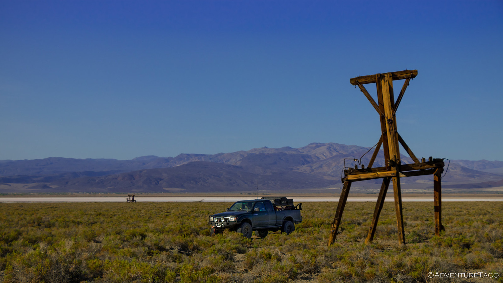
Eventually (and still hours later), I made reached the north end of the valley. My butt was numb and my ears hurt from the rattling - this was a pounding I'd only wish on my worst enemy. But as the sun grew lower in the sky, two surprises awaited - the first, the towers from an old salt tram, used to remove 20 tons of salt per day from the Saline Valley floor (thank goodness it only operated for a few years).
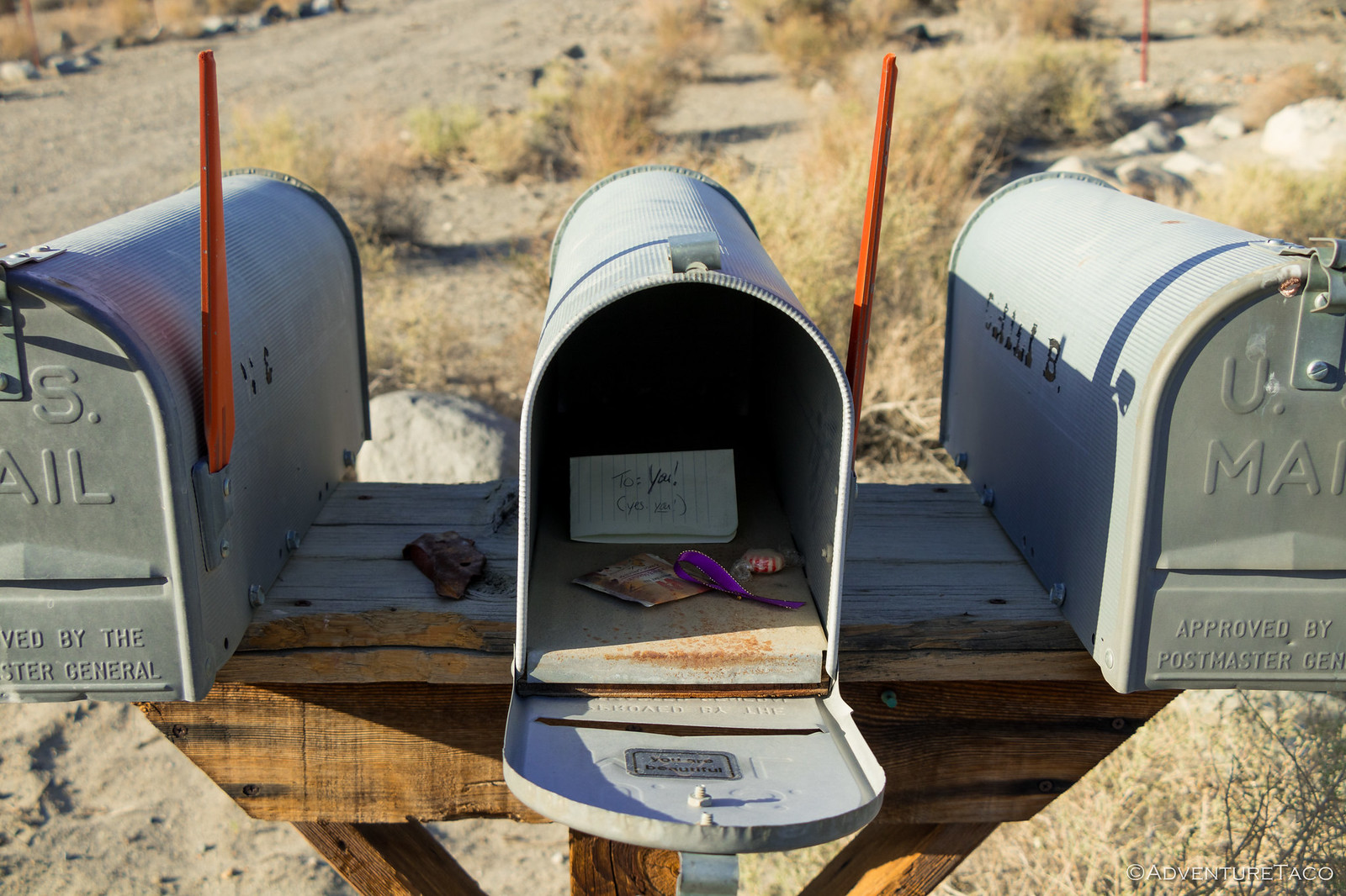
The next was even more of a surprise. At the far end of the valley, I came upon three mailboxes - two of them with outgoing mail! Holy smokes I thought, ranchers live out here?
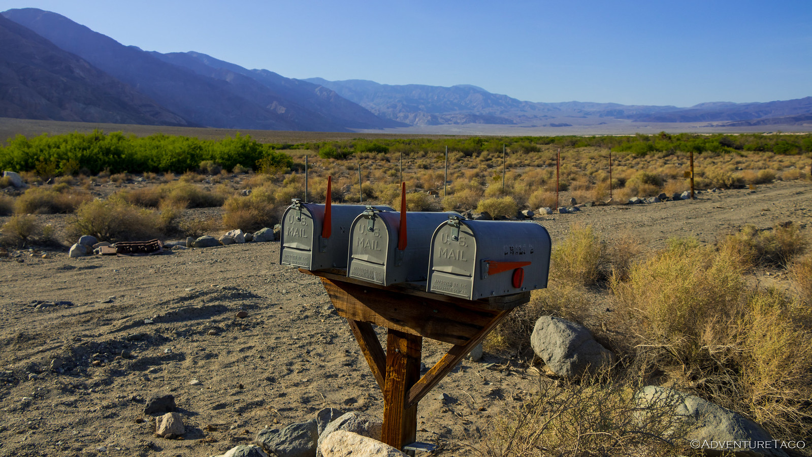
Anyone who knows me will know that I'm a curious bugger, and I couldn't help but see what the heck two people had going out to the world. Imagine my reaction when I realized that these mailboxes weren't serviced, but were instead a desert treasure - in place for folks like me to stumble upon. Such a fun experience, and something I'm extremely happy I hadn't known about beforehand. The two "outgoing" boxes each contained goodies for a traveler-in-need, and though I'm sure they change every once in a while, I'm only showing the contents of the less interesting one - so you can go experience the surprise for yourself! 😀
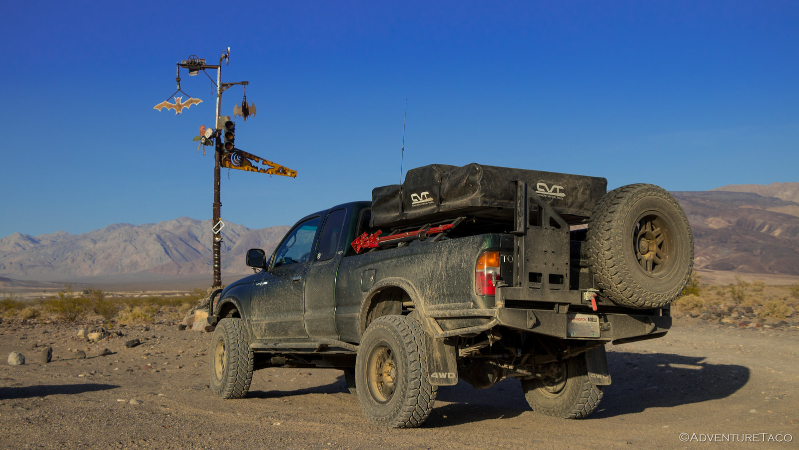
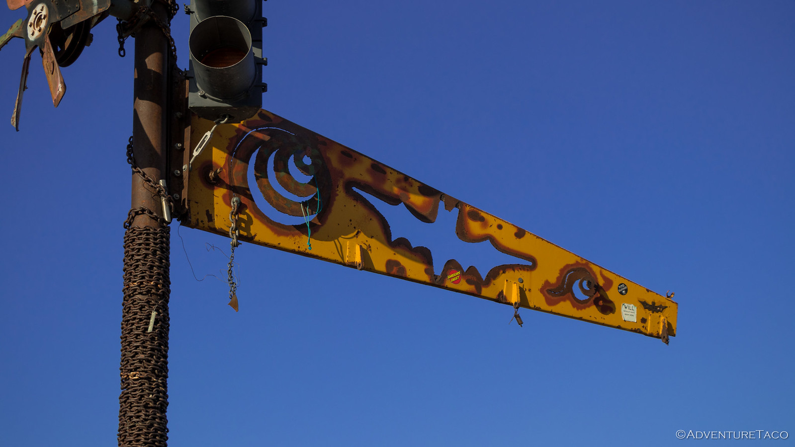
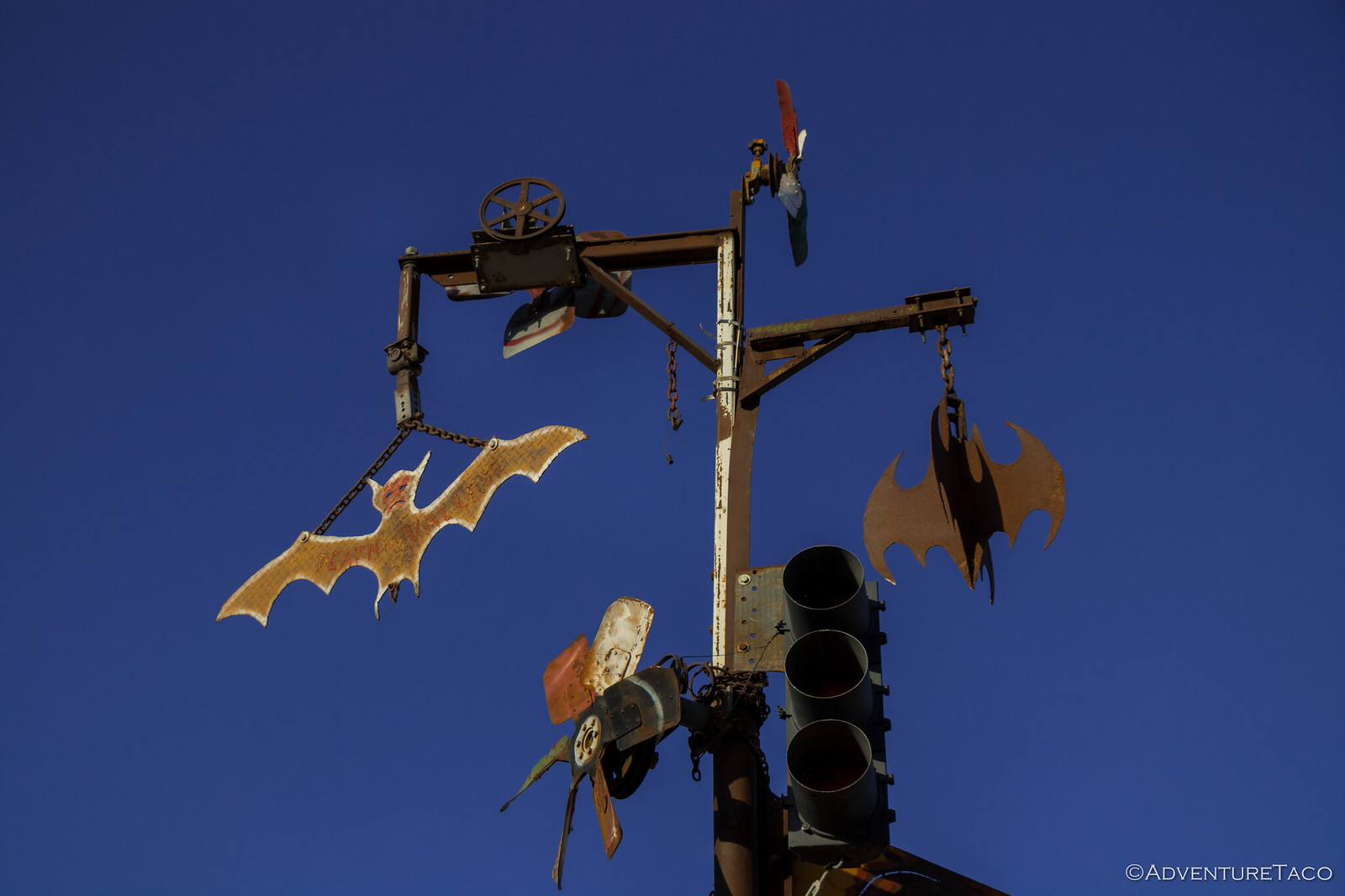
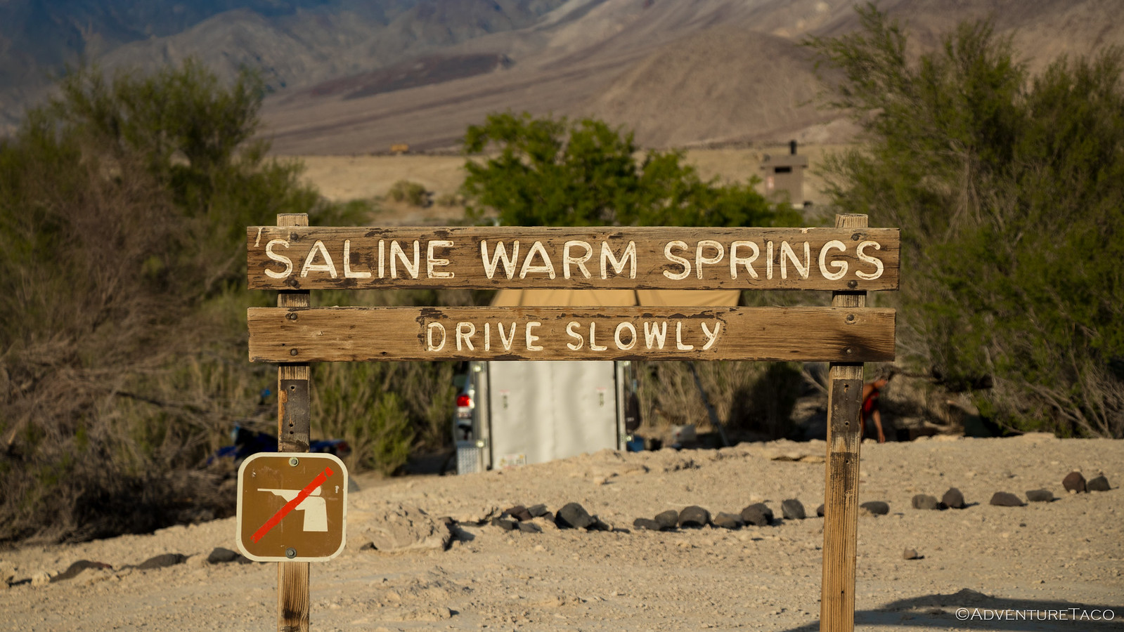
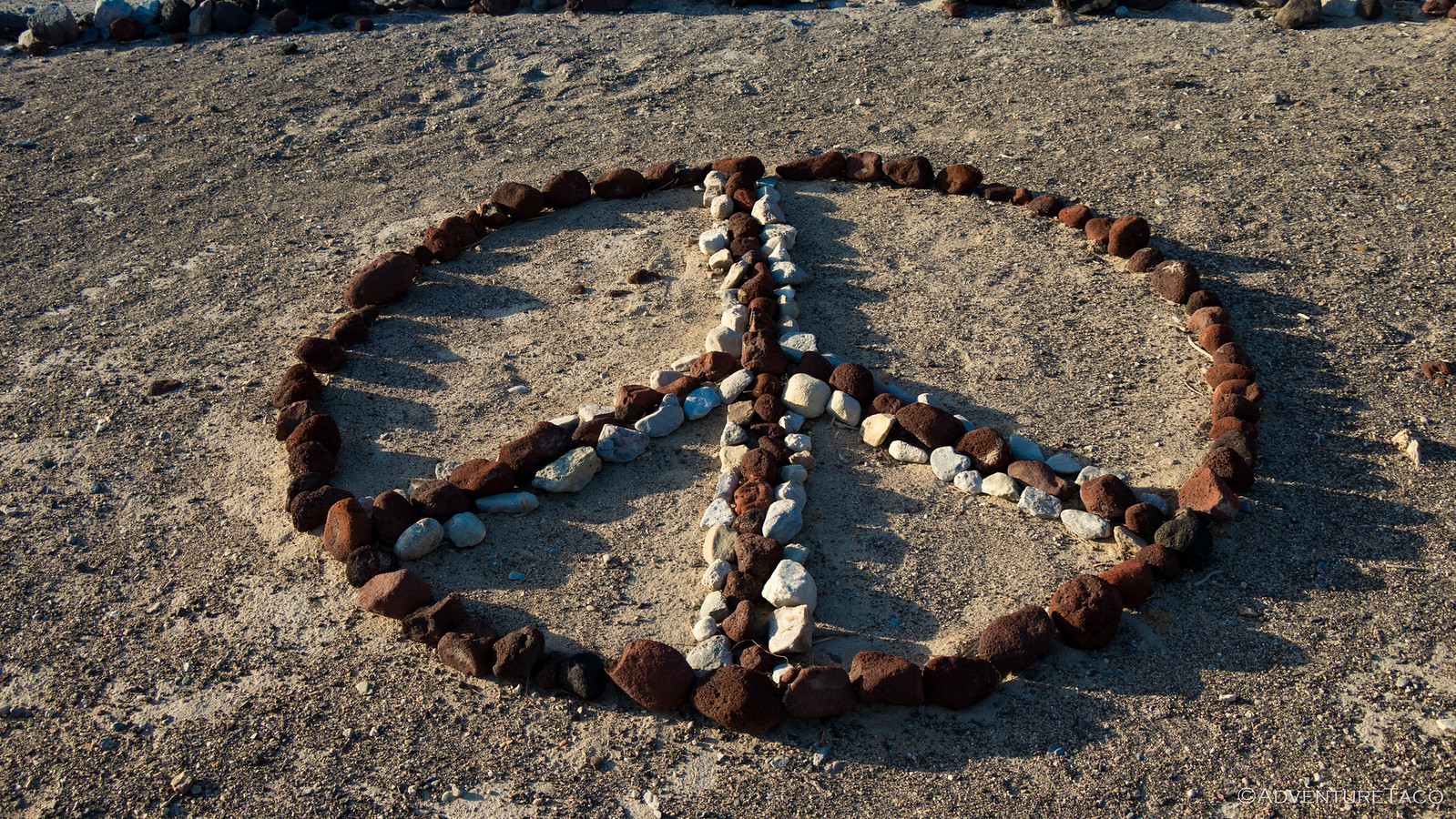
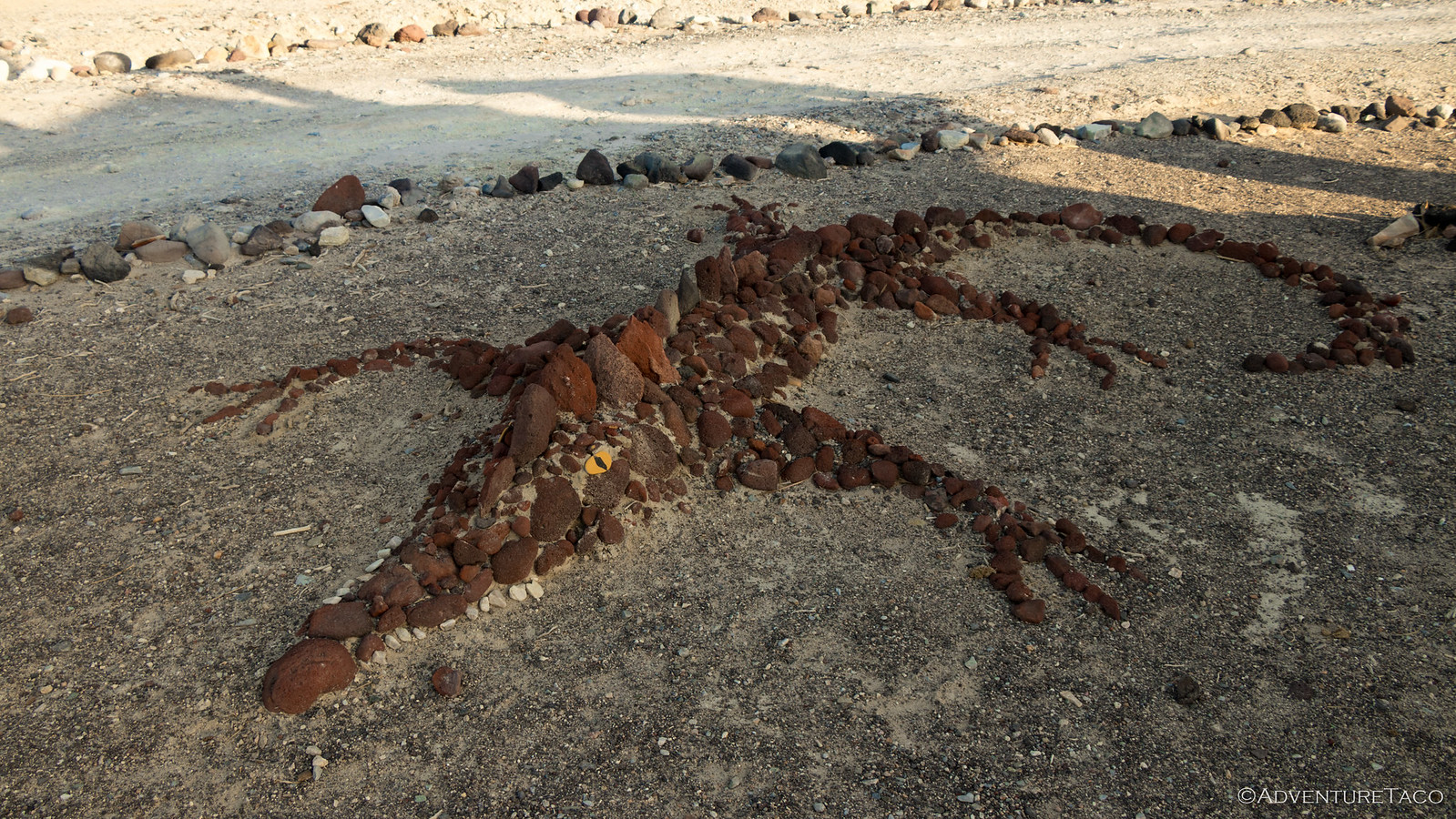
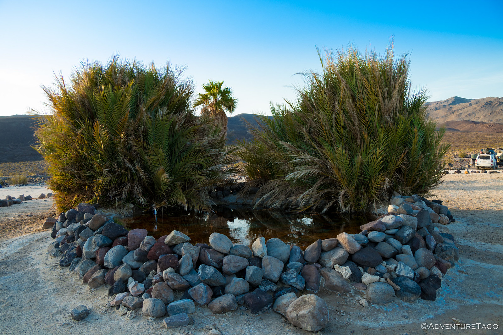
From there it wasn't far to the Saline Valley Warm Springs - there were some dunes to cross, and of course I ran into the Bat Sign before seeing the oasis that is the Warm Springs.
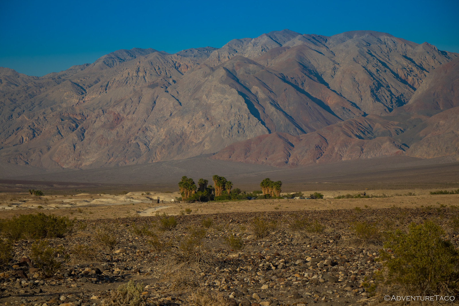
As I approached the springs themselves, my hopes were not high as to what I'd find. It was a Friday night, and recent reports generally indicate that the springs have become overpopulated and a bit kitchy if you show up any time but mid-week in the off-season.
For me, this couldn't have been more true. I snapped a few pictures since this really was a striking oasis in the middle of the desert, but I didn't linger.
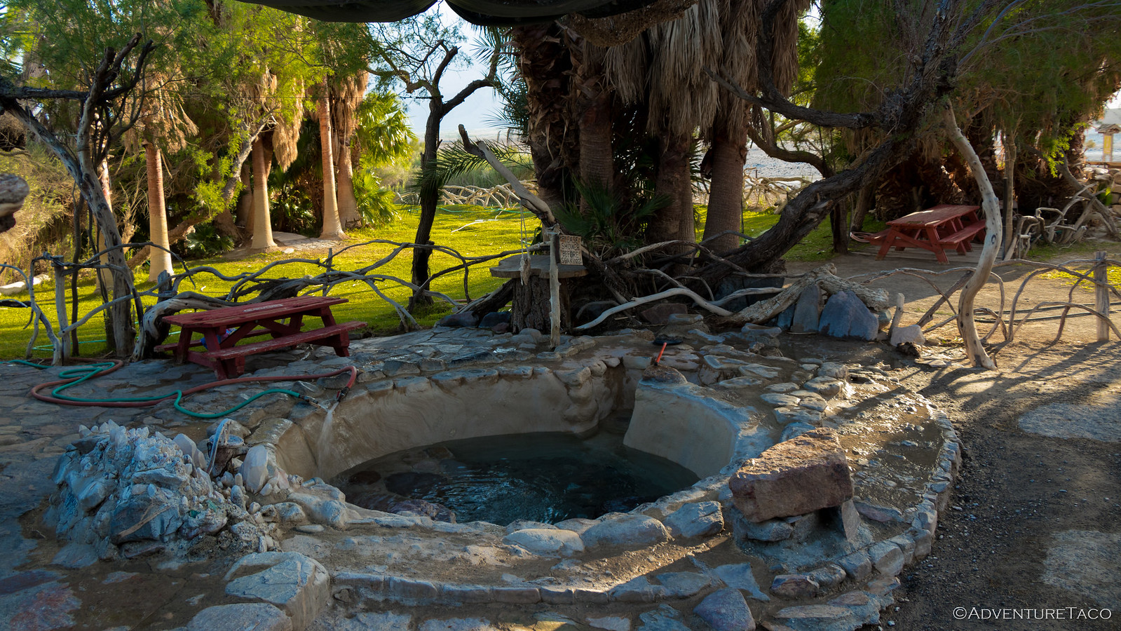
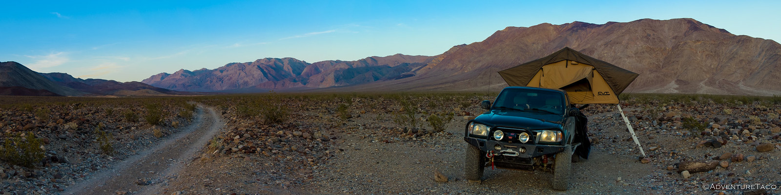
Now nearing sundown, I continued up the road to what I thought was the upper springs, delighted to see that there were significantly fewer people, and several other Tacoma's and FJs. I selected the most remote site possible (up the road toward Steel Pass), and walked over to check out the source spring and pools.
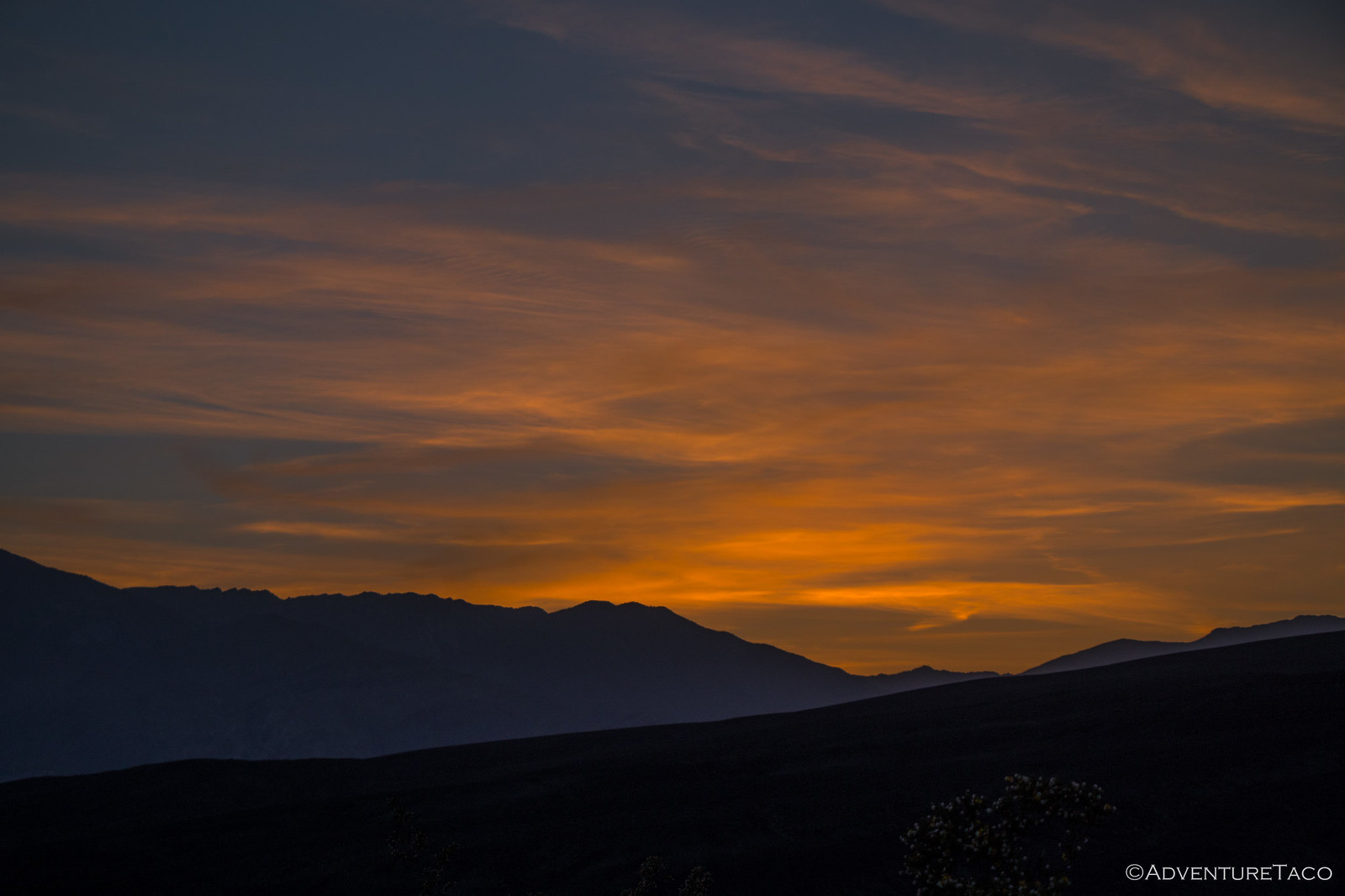
That was as close as I got to the water however, because even "less crowded," each pool had 10-15 folks in it - and that wasn't what I was looking for. So I headed back to my remote camp to take in that special time when the sun hits the horizon and paints the sky in amazing ways.
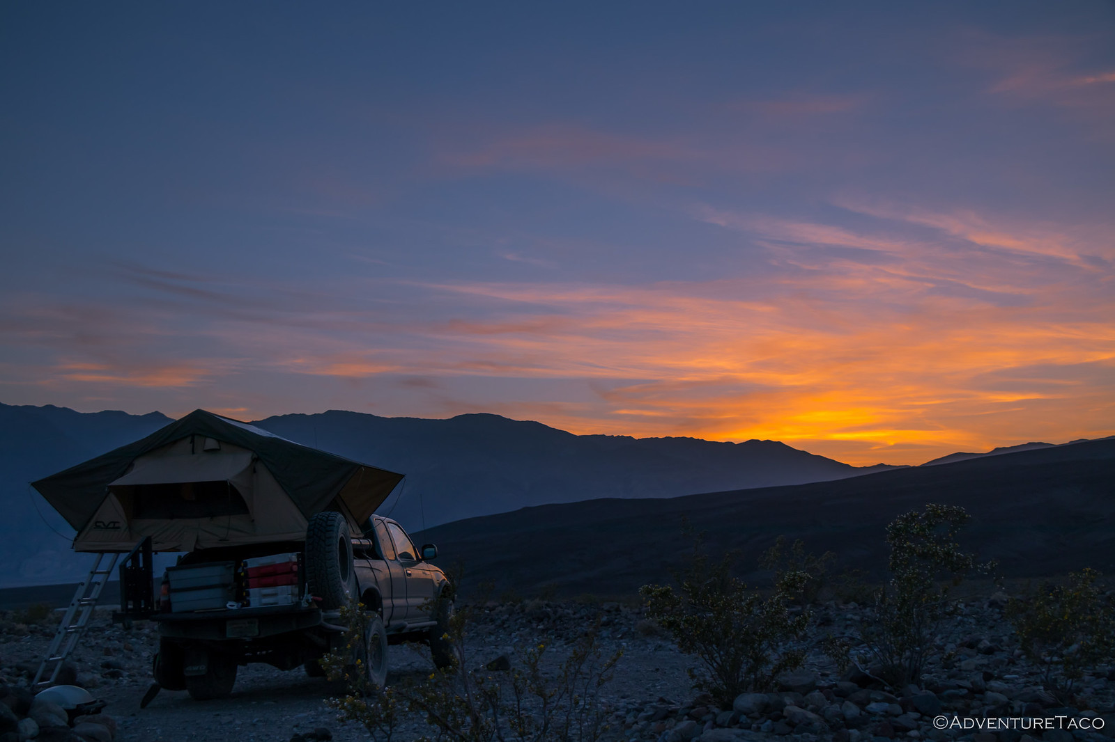
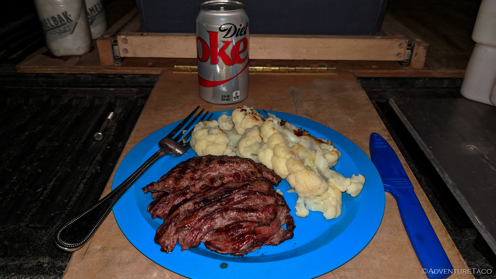
I read my book, took a short nap, and made a delicious dinner of skirt steak, roasted cauliflower, and a cold soda (the only sweet thing I'd taste all trip).
As I crawled into the tent, a warm light breeze and quiet sounds of the desert lulled me to sleep quickly. Even if the springs weren't the amazing destination that they used to be, the desert itself made up for it - that was for sure.
Little did I know that as I slept change was afoot. It wouldn't be long before the adventure continued...
Catch up or keep reading BACK TO DEATH VALLEY 2018
")

Love Death Valley? Check out other trips!
")

")


")

")
")


")


")